


Explore a gently sloping landscape towards the Loire after crossing the wild Bilhard gorges and discover castles, crosses, "bachats", house of the blessed...
Route details
Description
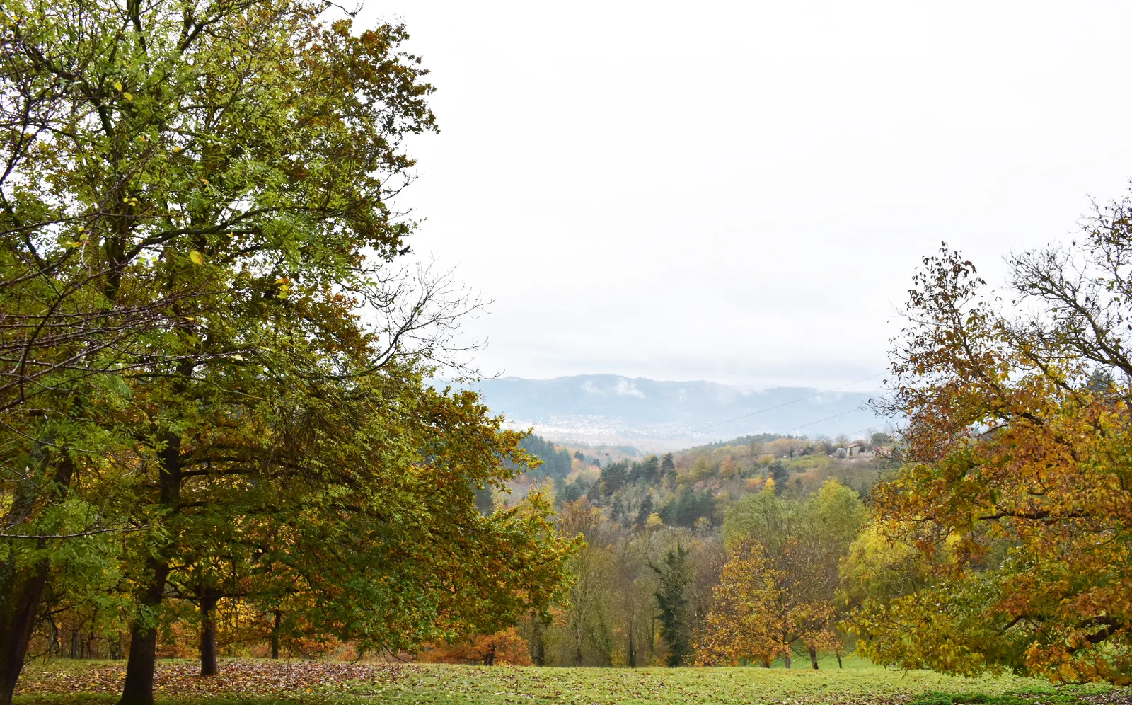
This easy walk offers wide views of the Loire Valley.
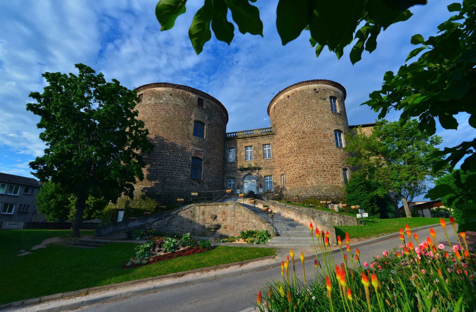
1. From the central cross, place Néron, go up towards the castle, go to the right and
end of the street to the right again. At the Maison des Associations, turn left.
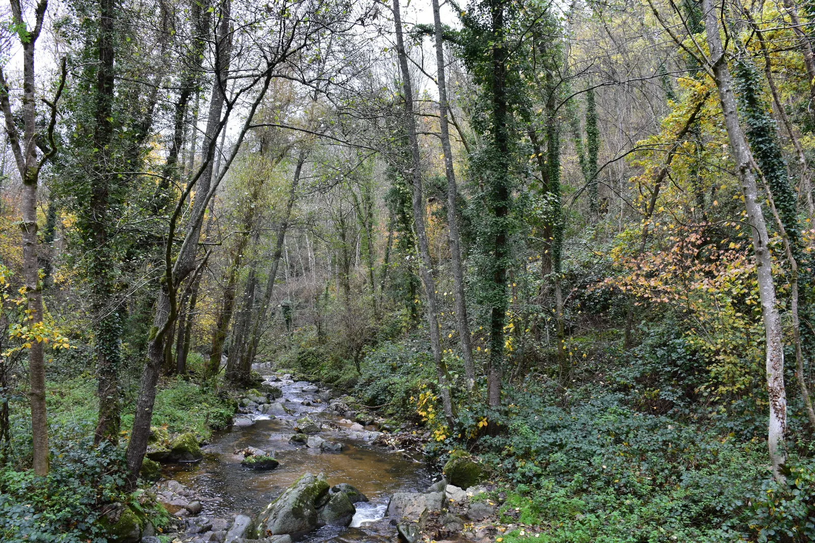
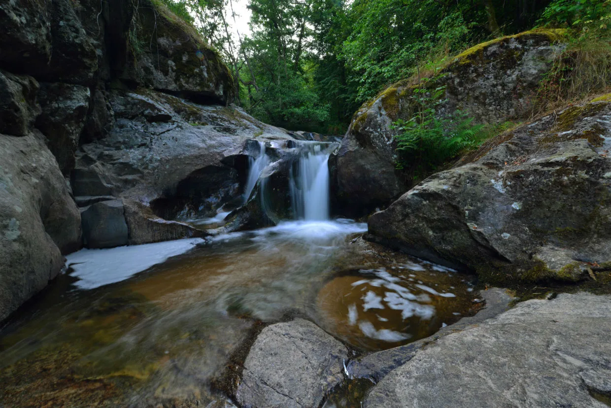
2. Arrived at Pinet, turn left between two large walls. The trail descends into the Bilhard gorges (the visit lasts 20 minutes round trip).
3. Cross the stream, climb to the road, turn right to the village of Chaponas. Turn right in front of the Maison de la Béate (clocheton on the roof). Go down to the stream then, after the bridge, go right to Tourton (cross nestled in a wall).
4. Shortly after, turn right on the dirt road which descends alongside the wood.
Cross the meadow (view of the Château de Rochebaron opposite and, on the right,
among the trees, on the towers of the castle of Foletier). Continue along the edge of the wood, turn left to avoid the farm and join a wide path.
5. At the road, turn right. Further on, cross the Foletier stream. The road rises. In a curve to the right, take the path to the left, pass under the railway.
– Straight ahead, access to the Loire via the fishermen’s path along the
Foletier (30 min round trip).
6. Turn right towards the village of Cheucle. After crossing the path
railway, cross the village. Reach the Croix de Cheucle by the tarmac road
rising. At the cross, turn right, then left on the stony path.
7. After an old vineyard house, the path splits in two. Turn left on the one that descends then ascends, becoming narrower. Leave the path on the left and join the road.
8. Take the road to the right, cross Le Pinet. As the road bends to the right,
take the path straight ahead which joins a small square, the Cour du Calvaire (“Court du Calvaire”)
bachat” and stone cross). Go straight down between the houses.
2. At the bottom, turn left, cross the bridge then go up to the right towards Place Néron.
UTM coordinates: 31 T 0591750 5016282
1. From the central cross, place Néron, go up towards the castle, go to the right and
end of the street to the right again. At the Maison des Associations, turn left.
2. Arrived at Pinet, turn left between two large walls. The trail descends into the Bilhard gorges (the visit lasts 20 minutes round trip).
3. Cross the stream, climb to the road, turn right to the village of Chaponas. Turn right in front of the Maison de la Béate (clocheton on the roof). Go down to the stream then, after the bridge, go right to Tourton (cross nestled in a wall).
4. Shortly after, turn right on the dirt road which descends alongside the wood.
Cross the meadow (view of the Château de Rochebaron opposite and, on the right,
among the trees, on the towers of the castle of Foletier). Continue along the edge of the wood, turn left to avoid the farm and join a wide path.
5. At the road, turn right. Further on, cross the Foletier stream. The road rises. In a curve to the right, take the path to the left, pass under the railway.
– Straight ahead, access to the Loire via the fishermen’s path along the
Foletier (30 min round trip).
6. Turn right towards the village of Cheucle. After crossing the path
railway, cross the village. Reach the Croix de Cheucle by the tarmac road
rising. At the cross, turn right, then left on the stony path.
7. After an old vineyard house, the path splits in two. Turn left on the one that descends then ascends, becoming narrower. Leave the path on the left and join the road.
8. Take the road to the right, cross Le Pinet. As the road bends to the right,
take the path straight ahead which joins a small square, the Cour du Calvaire (“Court du Calvaire”)
bachat” and stone cross). Go straight down between the houses.
2. At the bottom, turn left, cross the bridge then go up to the right towards Place Néron.
UTM coordinates: 31 T 0591750 5016282