

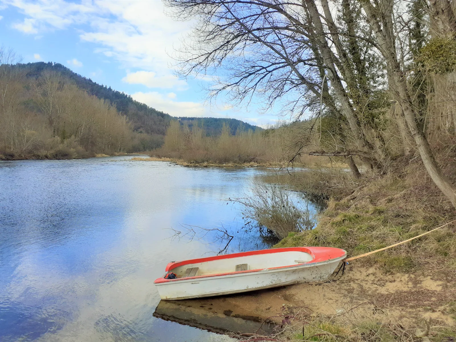
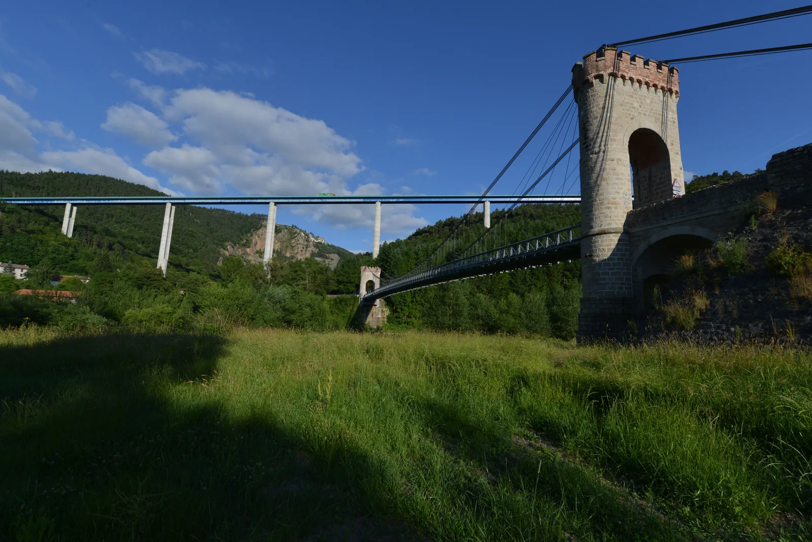
Go see the confluence of the Loire and the Lignon, in a steep-sided site, with two bridges, one a modern viaduct, the other an old one. Higher up, you will meander between woods and meadows dotted with more modest streams.
Route details
Description
1. Follow the path to the road. Turn left then the path on the right. Further on, walk along the edge of the meadow to the left and descend into the woods. In Nant, arrived on the road, turn left. At the crossroads, turn right to Chazelles. In the village, take the path on the left between two houses. It rises gently then descends into the woods (view of the Loire) as far as Nantet. At the bottom, turn left on the road to Pont de Lignon (imposing chimney of the old paper mills).
2. Cross the road and climb the hillside overlooking the Lignon. Near the Foyes farm, cross the chicane and follow the path which rises in the wood. It leads to a steep climb in stages (view of the Lignon gorges). At the crossroads, go straight. Towards the house, continue to the right until the Chanale. Reach the D 47 at Trevas.
3. Turn left then, 30 m later, right. Follow the road that crosses Trevas in a wide curve to the right, then take the stony path to the right in the direction of Cublaise. At the entrance to the village, take the road to the left, and in the center to the right.
4. At the bottom, follow the path to the left at the edge of the wood. It crosses a stream and rises to the exit of the wood. There, turn left to Boucherolles. Follow the paved road to the right. At the exit of the hamlet, fork on the path to the left which runs along the stream. At the end, take the road to the left. At La Rouchouze, descend to the left.
5. Shortly after, follow the path to the right. Near the stream, leave the path on the left and take the path along the wood. At the end, cross the footbridge and climb towards Le Cros. At the road turn left and pass a few houses. Further, turn on the path to the left.
6. At the road, descend to the left. At the bottom, pass under the N 88 and take the path on the left then cross the D 47; follow it to the roundabout. Cross it and join the departure car park.
UTM coordinates: 31 T 0591060 5014838