

PR 193 – Le circuit de Pieyres
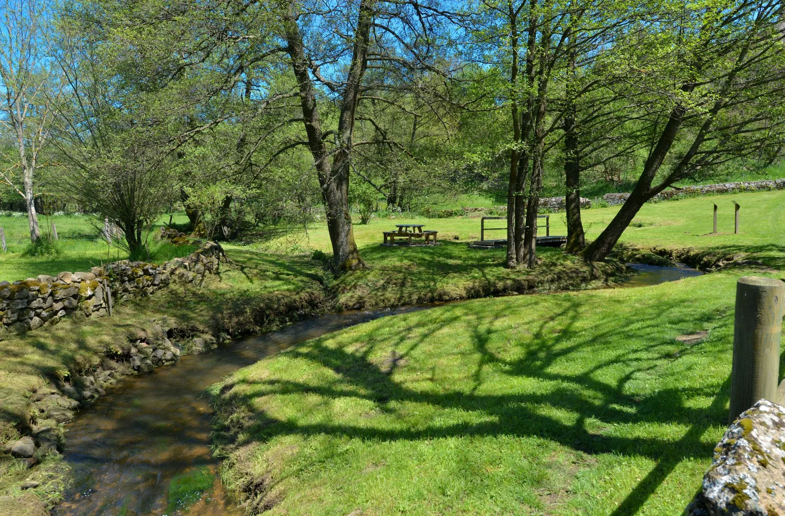
Between cultivated land and pastures, this circuit runs along the small Chandieu river which has its source in the neighboring town of Apinac. You can listen to the birds and enjoy the bucolic setting.
Route details
Description
1. Follow rue Pierre-Savel and, at place Neuve, turn right into rue Pierre-Verrier. Place
Bertrand-de-Chalencon, turn left onto rue des Petites-Écuries; go to
left then right Passage du Château. Turn right on rue Pierre-Verrier.
2. Turn right onto rue du Palais. At the end of it, go left then right towards the school.
3. At the crossroads, take the D 29 to the right for 90 m and turn left onto the road. Keep right on the road. At the farm, go up the path on the left. He veers right. Go straight along the wood, turn left and, on the right, cross the wood.
4. At the T, take the path on the right, cross the footbridge and cross La Breyre by the road on the right. On the bend, go straight on the path. Cut the D 12 and continue.
5. At the crossroads, take the path to the right for 90 m, then the path to the left and the road to the left. Go straight through Le Grangeon by the road. Enter Bost-Buisson by the road opposite.
6. In the center, follow the street to the right, the street to the left and ignore two lanes on the left. Leave the hamlet and continue along the road for 65 m.
7. Go right on the track. At the fork, go left. Cross the D 241 and continue to Pieyres. At the entrance, take the track to the right.
8. In Conches, take the street on the left for 50 m then the street on the right (cross). Follow the D 24 to the right for 90 m then the lane to the right. In Lavaur, continue straight. At the roundabout, continue on the right by the D 241 towards Usson-en-Forez for 80 m, then by the road on the left towards Blaise. Stay left.
9. On the bend, turn left onto the path. To the houses, cross everything
right over the footbridge and up the grassy path. Cut the road. In the alley
opposite, climb the Montée de la Forge on the left. Cross the rue de l'Argentière
to the right and climb rue des Petites-Écuries. On the left, return to the square
New.
UTM coordinates: 31 T 0574968 5023051