

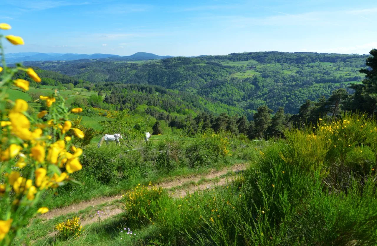
After a pleasant visit to the medieval village of Saint-Pal-de-
Chalencon, go to meet the Andrable valley and
let yourself be lulled by the lapping of the water.
Chalencon, go to meet the Andrable valley and
let yourself be lulled by the lapping of the water.
Sustainable tourism
We promote hiking in Haute-Loire in compliance with the hiker's charter which aims to preserve nature and protected areas.
https://www.rando-hauteloire.fr/
https://www.chemin-rando-hauteloire.fr/?categories=T6&categories=T5
https://www.ffrandonnee.fr/Media/Default/Documents/randonner/charte-du-randonneur-ffrandonnee.pdf
Portrait
The association of the Haute-Loire Hiking Committee has been asserting for 20 years its position in favor of the practice and development of hiking in Haute-Loire. Our business is divided into two major axes of development:
• The tourist and cultural development of the Haute-Loire through hiking
• The associative and sports development of hiking in Haute-Loire
Route details
Description
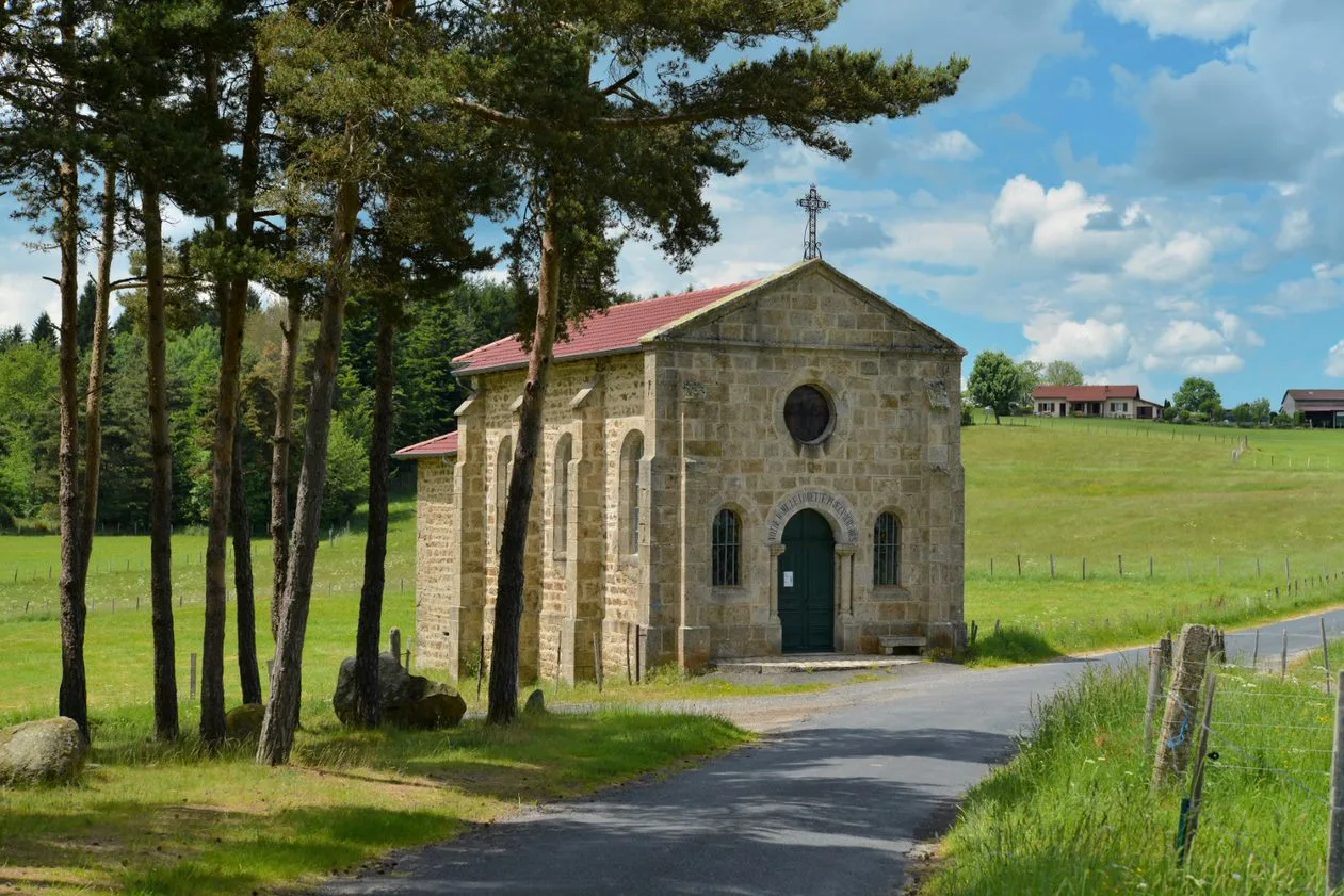
Along the way, you will discover the Notre-Dame-de-Lorette chapel which contains a work of great value.
1. Go down rue Pierre-Savel.
2. Ignore the street on the left and turn at the second, chemin de la Pouilhat. Turn right on the grassy path. In Méalet, follow the road to the left, climb straight on the path and continue on the road for 130 m.
3. Take the path on the right. It turns left and joins Boisset-Haut.
Take the road to the left for 50 m. Go left and reach the
Notre-Dame-de-Lorette chapel. Cross the road and continue straight ahead.
4. Go down to the right through the forest. At the crossroads, go straight. Take the D 24 to the right for 50 m then the road to the left towards Montchany. After the cross,
turn right. At the second cross, continue straight and keep the path
major. At the edge of the wood, go down to the right.
5. Descend left into the woods. Continue left and go right to
cross the Andrable. Go up and, at the edge of the wood, go straight towards the
hamlet.
6. Cross it on the left and leave the road for the path on the right. Go straight on the path along the stream.
7. Turn left and immediately right. Take the D 12 to the left for 250 m. Take the path to the right. At the entrance to Cubelle, keep left.
8. Enter the forest, on the left. Go straight down into the woods and cross
the Andrable. Take the road to the left for 200 m. Climb to the right and
continue straight. Cross Gachat. Cross the D 44 and continue opposite.
Turn right into Chanturanges and continue right. Near a farm, turn left. Take the D 12 to the left then the D 24 to the right for 70 m.
9. Turn right on the path. Higher, cross the road and go down.
Cross a second road. Go around the building on the left. Along the
cemetery then go down to the left and go straight.
2. On the right, reach the start.
UTM coordinates: 31 T 0574965 5023043