

PR 206 – Le Bois du Bés
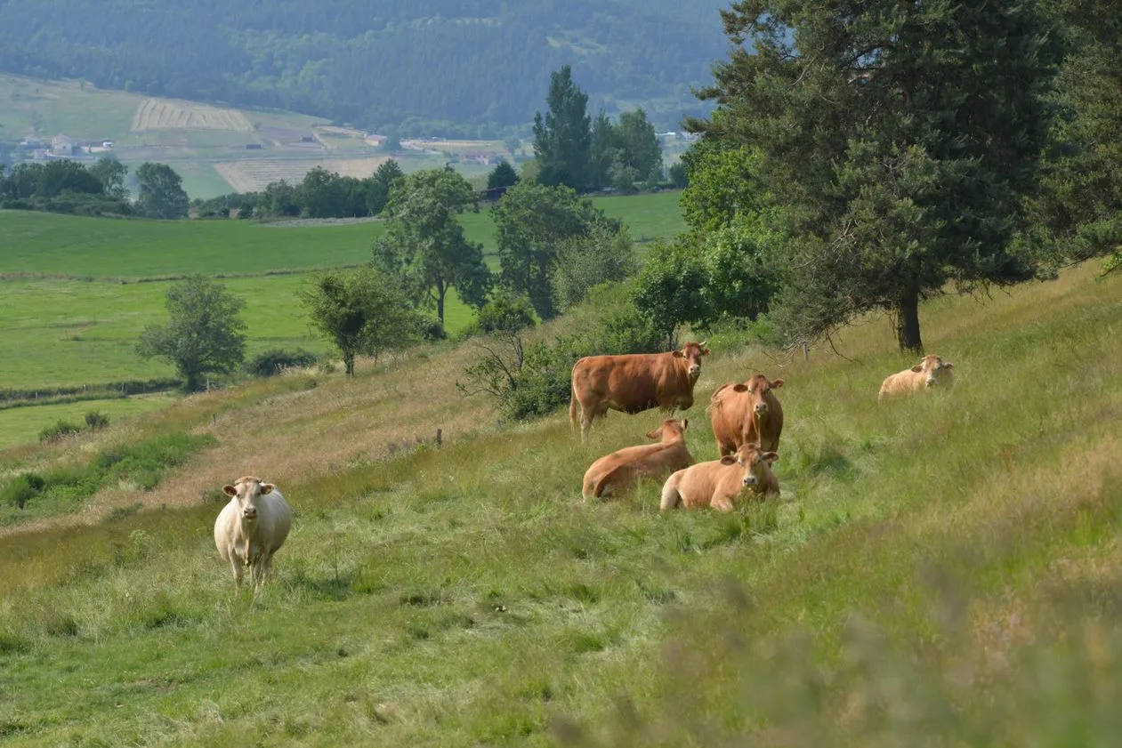
The vernacular heritage (crosses, fountains, troughs, etc.) present throughout the circuit will tell you the history of the place. You will have a beautiful view of the Madeleine and the surrounding juices.
Route details
Description
1. Turn your back on the town hall and take the street opposite. At the fork, turn left towards the school (direction Roche-en-Régnier).
2. At the cross, turn right towards Chazelles. After the pond, leave the PR 682 on the right to go straight through the hamlet. Ignore the road on the right and continue.
3. At the fork, stay on the road to the left. Just before the bridge over the Breure,
leave the road for the path on the left. Cross the footbridge over the stream,
then climb opposite by the grassy path. Reaching a bend in a road,
follow it to the right for 800 m and reach a crossroads.
4. Take the path on the left. At the fork, keep right. Cross the D 29 (be careful!) and enter Orsignac. In the center of the hamlet (bread oven),
head left for 30 m, then right. Pass the creek.
5. Just after the stream, at the junction of paths, continue straight. Go up opposite under the trees. At the crossroads, turn left.
6. Take the path on the left. At the first fork, go right.
Descend into the valley of the Orsignac stream and ford it. Take the path to the right. Come to an intersection.
7. Go right and enter the Bois du Bès. Continue right along the road
forestry.
8. In the bend to the right, descend to the left by the path under the trees.
Cross the footbridge over the Breure stream and go up the other side.
9. In Les Granges, follow the road to the left. Turn left towards Saint-André and
turn left to bypass the church on the left before finding the
town hall.
UTM coordinates: 31 T 0576092 5013752