

PR 212 – La Vallée de l'Ance
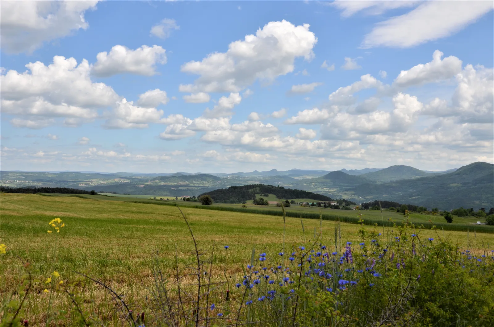
At the start of this beautiful sporting hike, you will be amazed by the panorama of the Madeleine plateau and the Yssingelais and Meygal sucs.
Portrait
The association of the Haute-Loire Hiking Committee has been asserting for 20 years its position in favor of the practice and development of hiking in Haute-Loire. Our business is divided into two major axes of development:
• The tourist and cultural development of the Haute-Loire through hiking
• The associative and sports development of hiking in Haute-Loire
We promote hiking in Haute-Loire in compliance with the hiker's charter which aims to preserve nature and protected areas.
https://www.rando-hauteloire.fr/
https://www.chemin-rando-hauteloire.fr/?categories=T6&categories=T5
https://www.ffrandonnee.fr/Media/Default/Documents/randonner/charte-du-randonneur-ffrandonnee.pdf
Route details
Description
You will then cross the village of Chalencon, a jewel of the medieval period, and cross the Ance by the Pont du Diable.
1. Follow the street towards the center of the village.
2. Before the town hall, take the lane to the right for 190 m, then the path to the left
between the walls. Take the D 243 straight. At the entrance to Boubas, turn off at
LEFT. Take the street to the left for 30 m, then turn right. Cross the road, continue straight for 40 m, then turn left. The way becomes a path.
3. At the fork, go right. Ignore the path on the left. After the ford, go up to the right. Take the track to the right. In the woods, continue along the forest road.
4. In the right turn, go down the path on the left. Keep to the right, cross the footbridge and go up. At Les Granges, take the road to the right. to assemble,
turn left and take the path on the left. Further down, follow the path to the left and continue along the hillside.
5. Cross Chalencon on the right. Descend the stony path on the right, cross the
Devil's Bridge, go up the path.
6. Go up the road on the left. After the canal, go right into the wood. Follow the D 24 to the right for 200 m. then leave it on the left.
7. Take the right path. At the next fork, go down to the right by the
path. At Le Bourg, take the road to the left. At Cherchebrot, go up the
second road on the left for 600 m.
8. In the left turn, turn right along the path in the woods. Downstairs,
take the road to the right. Cross Le Plot and follow the Ance. Cross to the left
the D 24 bridge, then follow the road to the left. At the houses of Pontvianne,
go up to the right. Cross the D 24 and climb.
9. At the edge of the wood, turn right. At Crespinhac, turn left. To the
fountain, turn right and go straight up. Take the D 243 to the right on
300 m and, after the bend, climb the path to the right.
10. Near the D 243, turn right. Go up to the left and cross the D 243 for
Continue right. In Solignac-sous-Roche, turn right to find
the parking.
UTM coordinates: 31 T 0578327 5011322