

PR 268 – Le circuit du crapaud
Hiking route
Route details
Description
From Place des Vallards, reach Place de la Halle and turn left. Then follow rue de l'Hôtel de Ville then, straight ahead, faubourg de
Montfaucon. Turn left on the D 45.
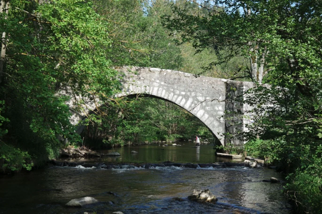
After 50 m, go down to the right passage du Mont. The road becomes a path and drops to cross a stream. After Le Verdier, turn right. At the crossroads, take the road to the left. Cross the Semène on a bridge.
In Valletta, turn left between the last house and a large wall. The path overlooks the Semène. Just after Chaplat, at the fork,
go left, then go along a wood.
Shortly after, turn right. At the fork, turn left, then continue overlooking the Semène. At Le Prège, turn left on the road and descend to the edge of the river.
At the intersection, turn left to cross the bridge. Then leave the road on the right. Climb straight on the main path. At the fork, go right and continue straight until Cellières.
Turn left and pass near a house.
Descend into the woods and ignore a path to the left. Continue downhill on the main path. Cross a stream and climb up to Montcoudiol. Turn right on the road and follow it out of the hamlet.
At the crossroads, cross the road to continue opposite on a path.
At the fork, continue to the right and climb up to the road; cross it and
go in front. At the intersection, take the D45 to the right for a few meters, then leave it to the left for a descending path.
Go up to reach the bitumen. Turn left and enter St-Didier-en-Velay
Head right, then turn right Faubourg de Montfaucon. Go straight
to Place de la Halle and turn right to reach the start.
Montfaucon. Turn left on the D 45.
After 50 m, go down to the right passage du Mont. The road becomes a path and drops to cross a stream. After Le Verdier, turn right. At the crossroads, take the road to the left. Cross the Semène on a bridge.
In Valletta, turn left between the last house and a large wall. The path overlooks the Semène. Just after Chaplat, at the fork,
go left, then go along a wood.
Shortly after, turn right. At the fork, turn left, then continue overlooking the Semène. At Le Prège, turn left on the road and descend to the edge of the river.
At the intersection, turn left to cross the bridge. Then leave the road on the right. Climb straight on the main path. At the fork, go right and continue straight until Cellières.
Turn left and pass near a house.
Descend into the woods and ignore a path to the left. Continue downhill on the main path. Cross a stream and climb up to Montcoudiol. Turn right on the road and follow it out of the hamlet.
At the crossroads, cross the road to continue opposite on a path.
At the fork, continue to the right and climb up to the road; cross it and
go in front. At the intersection, take the D45 to the right for a few meters, then leave it to the left for a descending path.
Go up to reach the bitumen. Turn left and enter St-Didier-en-Velay
Head right, then turn right Faubourg de Montfaucon. Go straight
to Place de la Halle and turn right to reach the start.