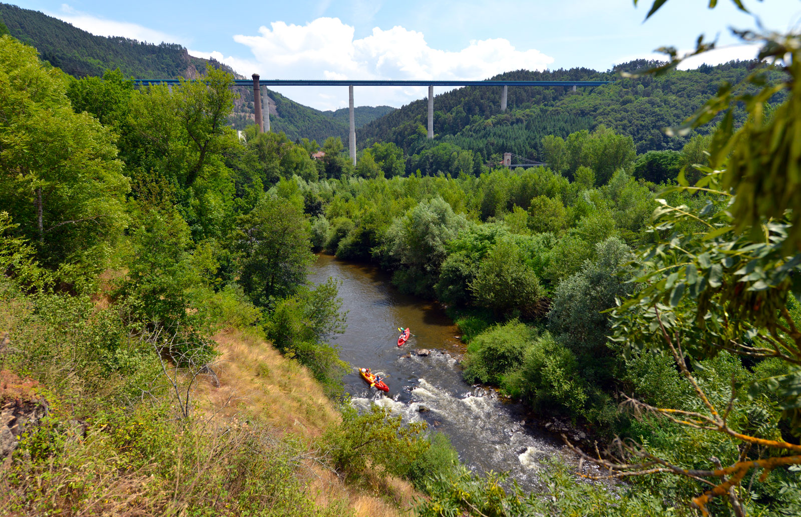
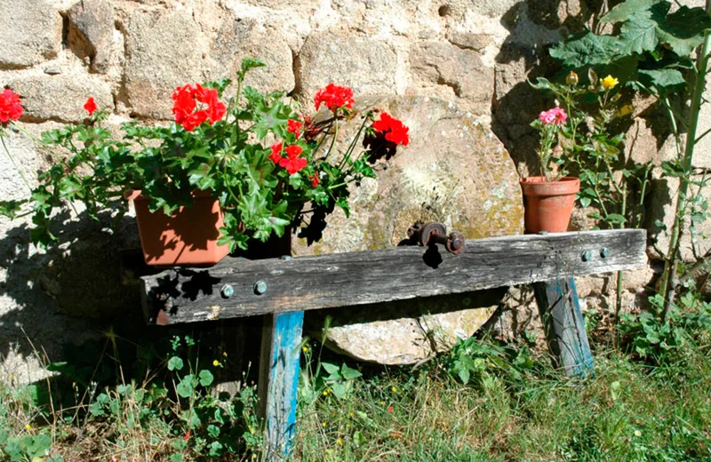
Starting from the peaceful village of Saint-Victor-Malescours, this route flirts with the Semène river. You will discover old buildings that bear witness to the fundamental role played by this waterway in local economic activity.
Route details
Description
Near the cemetery, go straight ahead towards the village; cross it then, at its exit, leave the road on the right for a path. Join a road and turn left; leave it straight for a path.
After the stream, turn right and go through a wood. Ignore a path to the right. At Cellières, take the road to the right. Further down, in the village, turn right onto the road. Go away from the village, on the left, by a wide path. Pass an isolated house.
Just after, at the edge of the forest, turn left. As you approach a hamlet, go down a path to the left. Go along the Semène and reach a road; take it to the left and, after the bridge, climb to the left.
After a few meters, turn left into a path overlooking the Semène. Cross a wood and reach a house. Turn right to go up a small road.
As you approach a shed, leave the bitumen for a path to the left. Shortly after, the path splits; go left. Go down, then follow the Semène. Pass between two farm buildings (Vial mill), and head left on the
road. Pass a bridge and cross Vial.
Turn left to go up the road. At the fork, go right and go down to an intersection. Take the wide road on your left, then immediately turn right onto a smaller road. At the hamlet, fork
to the right. Cross a bridge and continue to climb on the bitumen.
At Mazel, take the path on the left. Shortly after, continue to the left to descend. Cross a ru. At the Moulin Blanc, turn left. After the bridge, go straight ahead. Near La Bruyère, follow the road to the right.
Go left towards Montebello and continue straight until Saint-Victor-Malescours. At the entrance, bypass the town on the left. Then turn right to reach the cemetery.


