

PR 278 – Le Circuit de Malploton
Hiking route
Route details
Alert
Average level
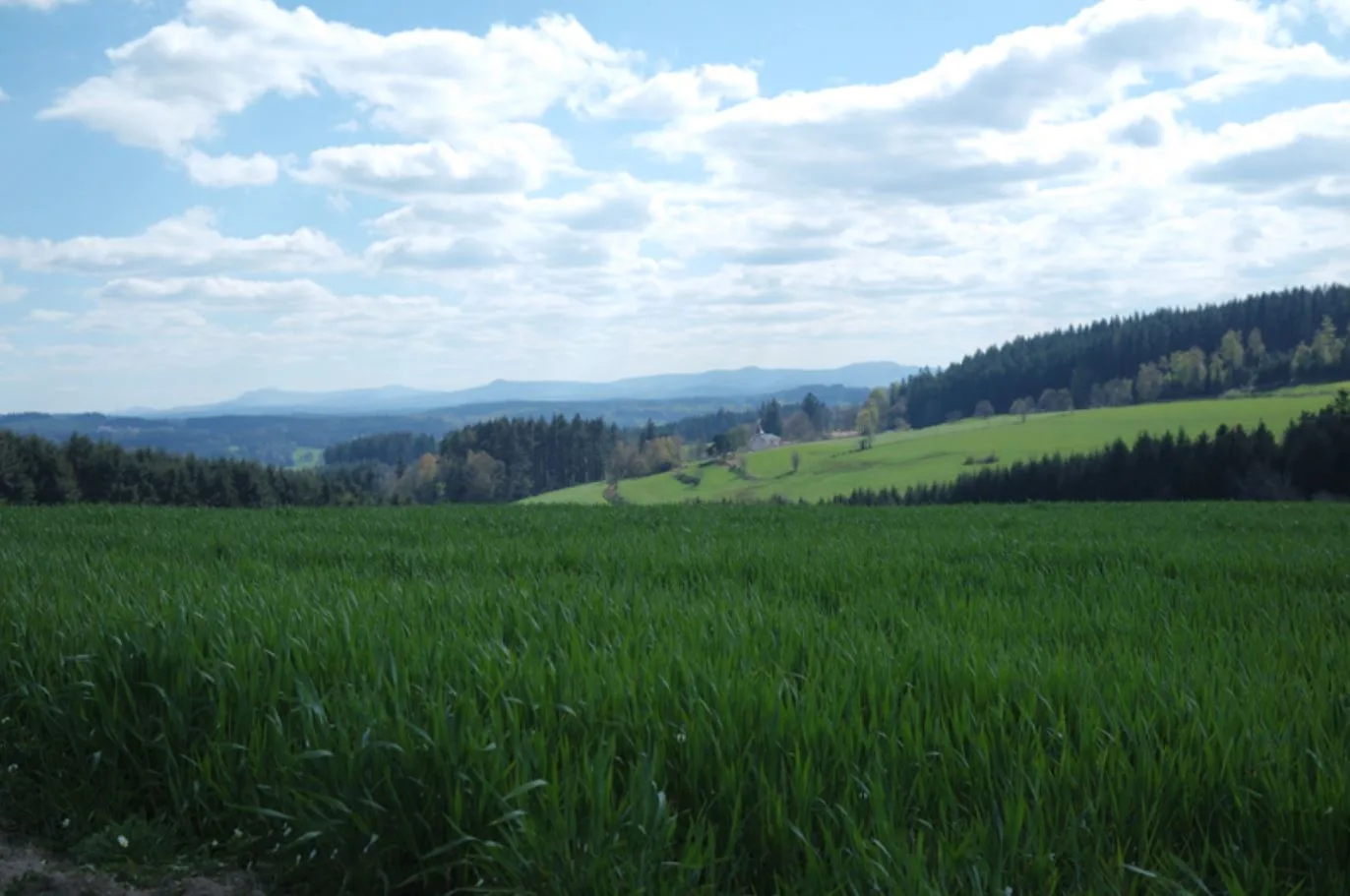
Description
With your back to the cemetery, take the direction of Malploton. Cut the road and
Malploton (castle), turn left by a path. When it splits, for
follow left. At the intersection, go right then continue straight for
reach a road; take it to the right. Ignore two paths left
who go into the forest. At the fork, follow the wide path on the left and cross
the forest.
At La Garne, just after a house, turn right. Take the road to the right
and go through the Fraisse. At the entrance to La Bourlèche, go down to the left by
a path.
At the entrance to the forest, turn left. Ignore two paths to the right and
continue to a crossroads. Turn right and follow the main path
which gradually emerges from the woods, then runs along them (view of Jonzieux and the
Pilate). Go straight to La Tourette. Take the road to the right.
Ignore the straight path and pass an equestrian centre. In Bergognon,
steer right. Shortly after, leave the road on the left for a grassy path.
At Poyet, descend to the left, then do the same at the next intersection.
After the house, go right and cross the Semène
At the entrance to the wood, turn right. When the path splits, go to
LAW. A little further, at the fork, turn left and exit the forest.
At the fork, go right. Go straight on to Pont-de-Malzaure.
After the bridge, turn left. On leaving the hamlet, leave the road at
left hand. Higher, go left and continue straight out to sea
path.
At the crossroads, cross the road and cross Faridouay. Continue with a
path and climb to reach a road; cut it straight ahead and pass Montebello. Go straight on to Saint-Victor-Malescours. At the entrance,
bypass the village on the left. Then turn right to reach the
graveyard.