

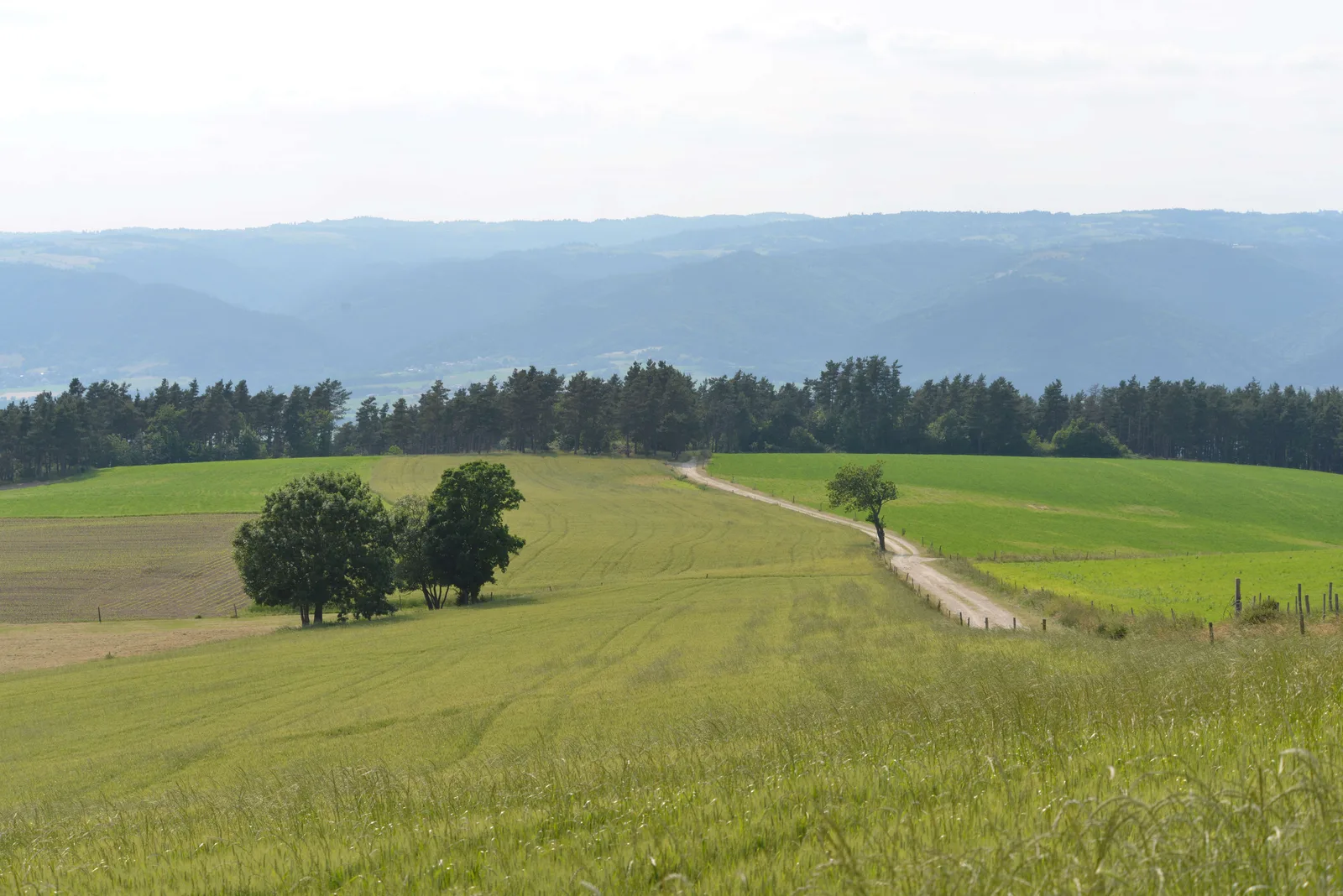
Pleasant softwood and hardwood forests, an unobstructed view of the Loire overlooking Aurec-sur-Loire, but also Bas-en-Basset and steep paths form a curious setting for the Moulina stream.
Route details
Description
1. From the war memorial, take rue de Bel-Air (GR302 Sources et Gorges de la Loire). Walk along the cemetery (from the path, view of Bas-en-Basset at
LEFT). Go down the stony path to the Moulina stream. THE
ford and, by the steep coast on the right, arrive on a road
communal. Go left.
2. At La Grangeasse, go left on the D 45 for 200 m. Cross it at the Eaux du Lignon building. Follow the path to the left of the water pipe. After 1,5 km, arrive at Ouillas and turn right for 500 m.
3. Take the dirt road on the right. Cross the D 45 at Bouffeton.
Continue opposite by the path which joins the tarred municipal road
(stone cross on the right and wooden cross on the left). Cross this path and
walk in the coniferous wood. Take another lane on the left
communal.
4. Cut it and go down. At the height of the water tower, take the path
LAW. Cross the municipal road.
5. Cross the D 471 (view of the Yssingelais juices). Go down and continue straight ahead. Go straight through the Bois du Canal and cross the D 471. 200 m later, take the road to the right then the D 471 to the left.
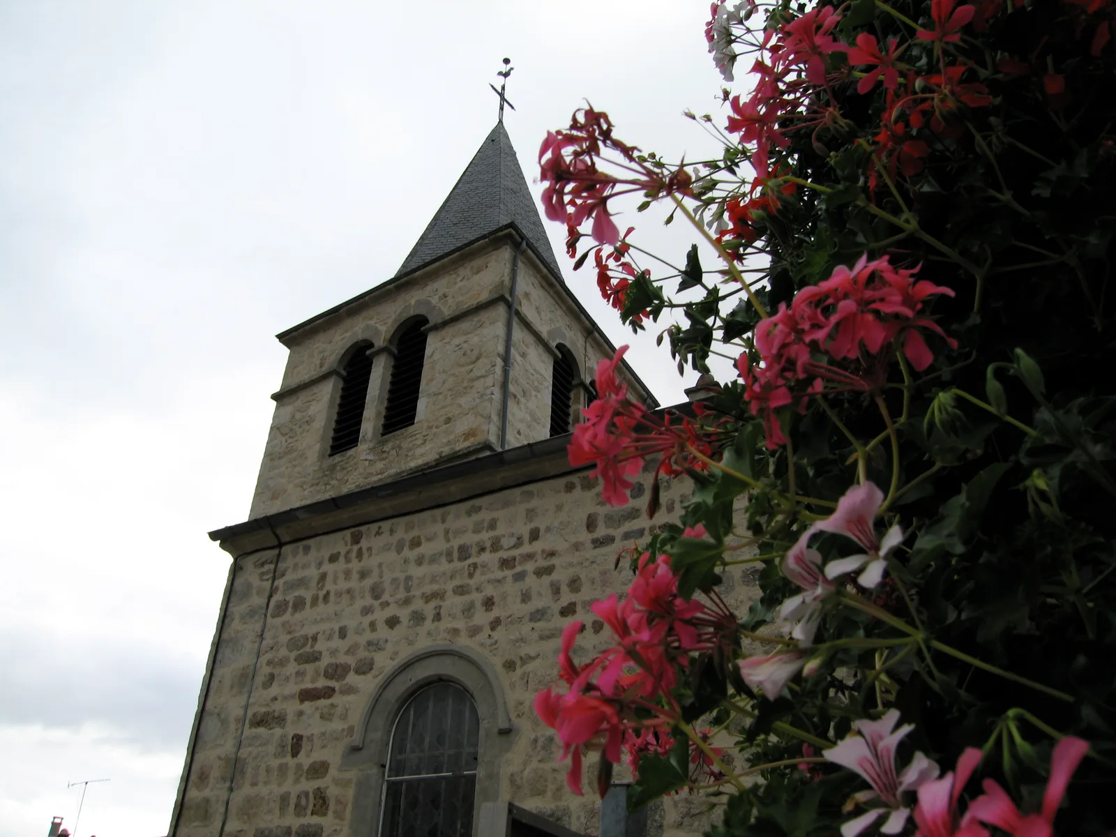
6. Take the La Thève road to the left for a few meters, then the sandy path to the right. Continue towards the village of La Chapelled'Aurec. At the height of the first houses, turn left. Cross the hamlet. At 200 m, turn right and climb towards the bell tower. Pass next to the Clos Saint-Joseph (on the left) and return to the starting point via the Place de l'Eglise.
UTM coordinates: 31 T 0594505 5020893
LEFT). Go down the stony path to the Moulina stream. THE
ford and, by the steep coast on the right, arrive on a road
communal. Go left.
2. At La Grangeasse, go left on the D 45 for 200 m. Cross it at the Eaux du Lignon building. Follow the path to the left of the water pipe. After 1,5 km, arrive at Ouillas and turn right for 500 m.
3. Take the dirt road on the right. Cross the D 45 at Bouffeton.
Continue opposite by the path which joins the tarred municipal road
(stone cross on the right and wooden cross on the left). Cross this path and
walk in the coniferous wood. Take another lane on the left
communal.
4. Cut it and go down. At the height of the water tower, take the path
LAW. Cross the municipal road.
5. Cross the D 471 (view of the Yssingelais juices). Go down and continue straight ahead. Go straight through the Bois du Canal and cross the D 471. 200 m later, take the road to the right then the D 471 to the left.
6. Take the La Thève road to the left for a few meters, then the sandy path to the right. Continue towards the village of La Chapelled'Aurec. At the height of the first houses, turn left. Cross the hamlet. At 200 m, turn right and climb towards the bell tower. Pass next to the Clos Saint-Joseph (on the left) and return to the starting point via the Place de l'Eglise.
UTM coordinates: 31 T 0594505 5020893