

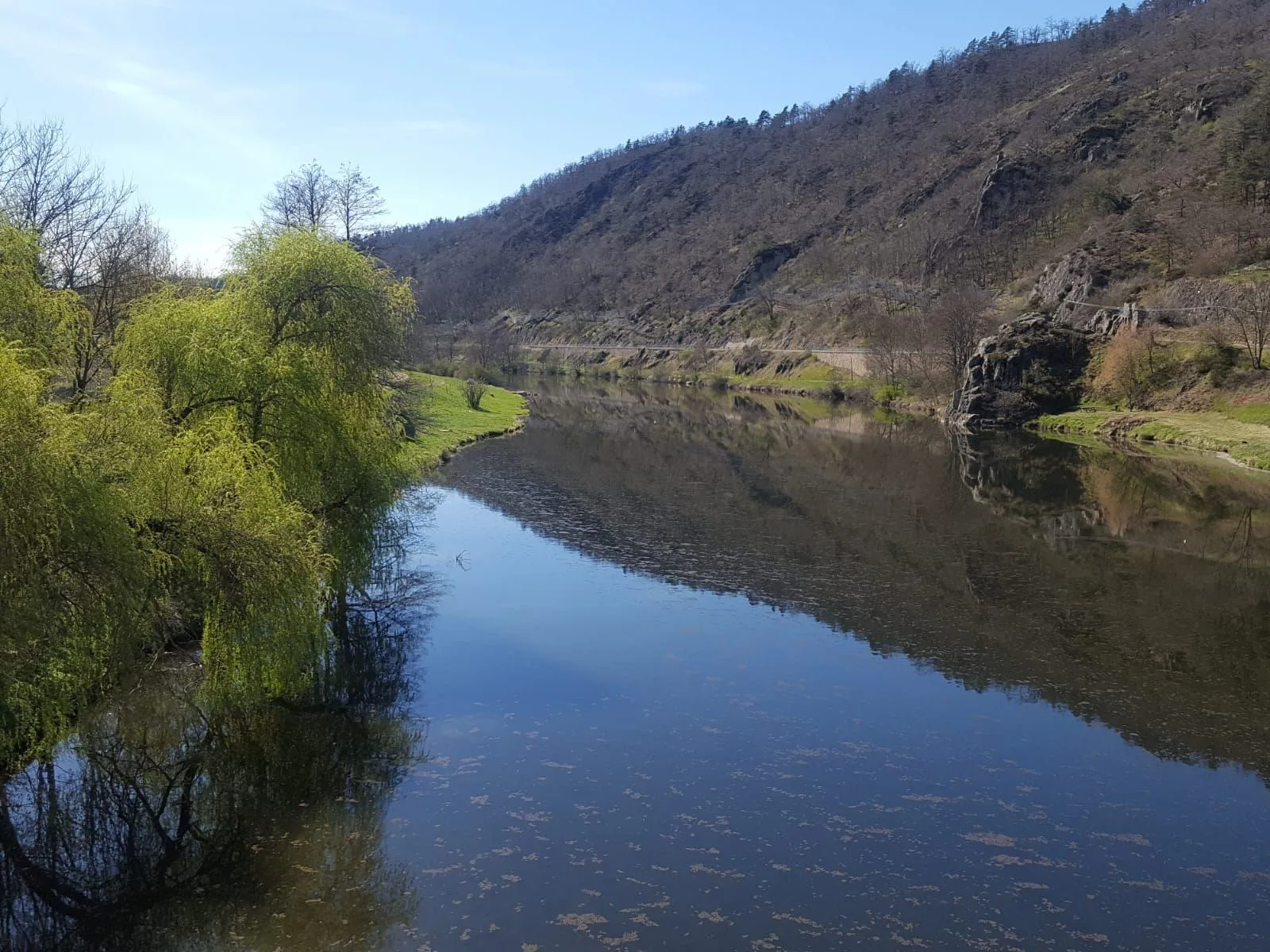
This short walk along the Loire at the start, takes you to discover the Gorges du Ramel and the unusual Chapelle du Fraisse which dominates this narrow valley. With on the way back, an exceptional view of the plateau of the Madeleine and the Dent.
Portrait
The association of the Haute-Loire Hiking Committee has been asserting for 20 years its position in favor of the practice and development of hiking in Haute-Loire. Our business is divided into two major axes of development:
• The tourist and cultural development of the Haute-Loire through hiking
• The associative and sports development of hiking in Haute-Loire
Sustainable tourism
We promote hiking in Haute-Loire in compliance with the hiker's charter which aims to preserve nature and protected areas.
https://www.rando-hauteloire.fr/
https://www.chemin-rando-hauteloire.fr/?categories=T6&categories=T5
https://www.ffrandonnee.fr/Media/Default/Documents/randonner/charte-du-randonneur-ffrandonnee.pdf
Route details
Description
1. From the car park at the southern exit of the bridge over the Loire, follow the river for 600 m
to the confluence of the Ramel.
2. Before the submersible bridge, turn right on the rocky path for 1,6 km.
Shaded, it follows the left bank of the Ramel and leads to the ruins of the farm of
priory of Fraisse-Bas which marks the beginning of the Ramel gorges. Climb to
straight between the ruins the shaded path rising rapidly for 1,2 km in
towards the village of Fraisse-Haut.
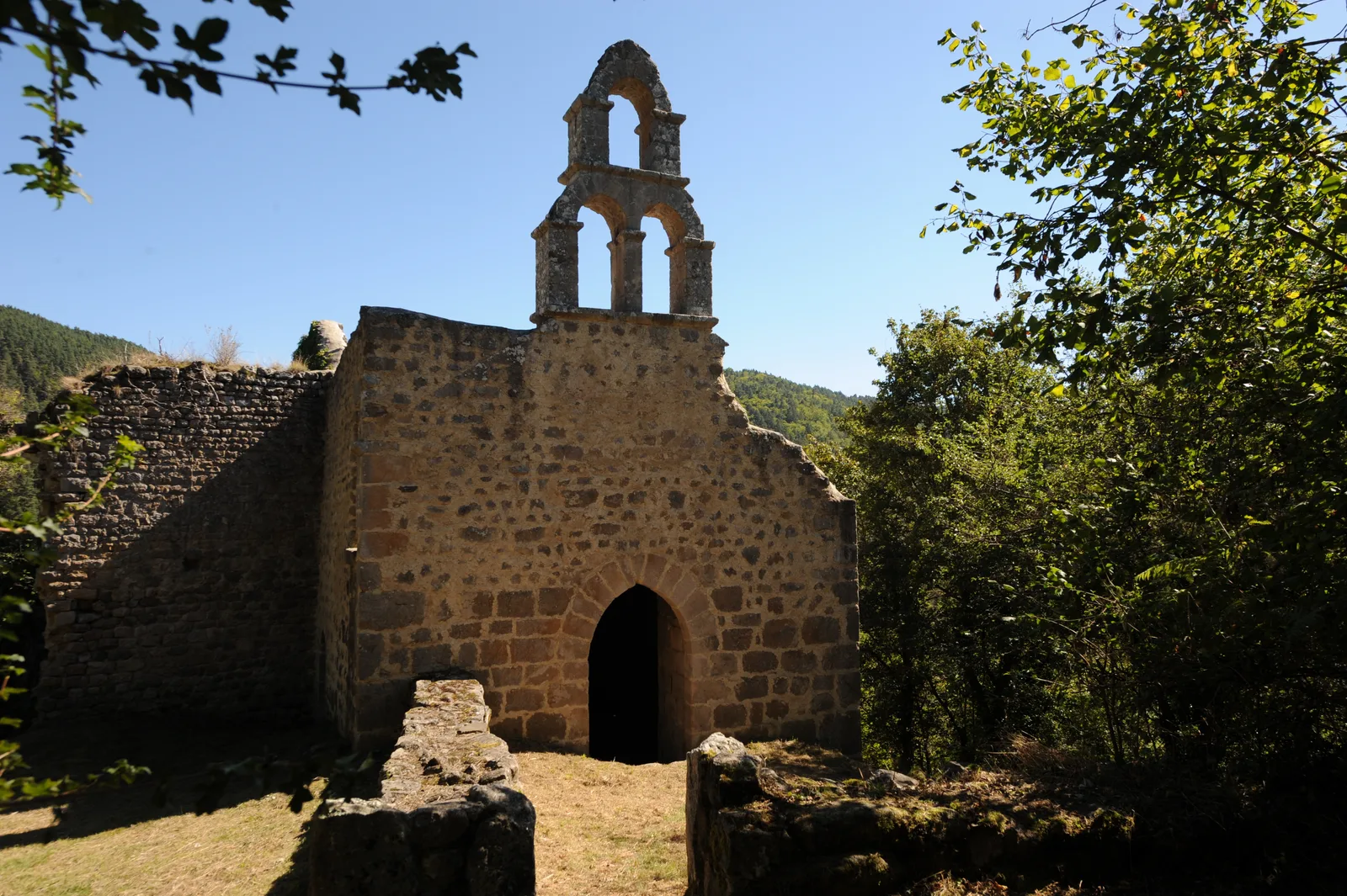
> 350 m from the ruins of the farm, the path on the left leads to the ruins of the chapel of Le Fraisse, 60 m away.
3. Arriving at Fraisse-Haut, turn left on the road for 1 km. To follow her
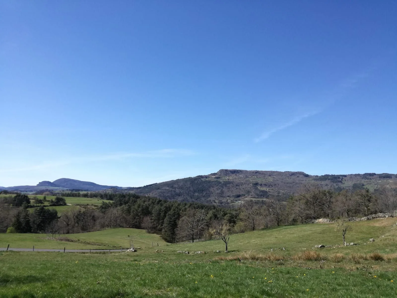
up to the D 42 ignoring the markings for the PR® 267 of Beaux. Cross the D 42 to reach Peyre (panorama over the Gerbizon, Miaune, la
Magdalene and the Tooth).
4. In the center of the village, opposite the communal oven, turn right onto the path
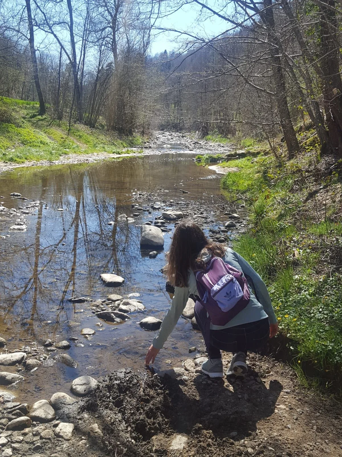
(tarred at the beginning). After 300 m, ignore the path on the left to continue on the grassy path descending for 400 m through the woods towards the Loire Valley. The path descends sharply to the right into the wood. After crossing the small stream, the trail widens into a wide carriageway. It winds through cultivated land to the village of Vaures and allows you to discover the Loire Valley (on the left bank, the 42th century stately home of La Grange). Enter the village (façade of the Maison de la Béate). After passing in front of the wash house and the metal cross, take the tarred path on the left which descends between the houses to join the D XNUMX, follow it in the direction of the bridge to reach the starting point.
UTM coordinates: 31 T 0585916 5009483
to the confluence of the Ramel.
2. Before the submersible bridge, turn right on the rocky path for 1,6 km.
Shaded, it follows the left bank of the Ramel and leads to the ruins of the farm of
priory of Fraisse-Bas which marks the beginning of the Ramel gorges. Climb to
straight between the ruins the shaded path rising rapidly for 1,2 km in
towards the village of Fraisse-Haut.
> 350 m from the ruins of the farm, the path on the left leads to the ruins of the chapel of Le Fraisse, 60 m away.
3. Arriving at Fraisse-Haut, turn left on the road for 1 km. To follow her
up to the D 42 ignoring the markings for the PR® 267 of Beaux. Cross the D 42 to reach Peyre (panorama over the Gerbizon, Miaune, la
Magdalene and the Tooth).
4. In the center of the village, opposite the communal oven, turn right onto the path
(tarred at the beginning). After 300 m, ignore the path on the left to continue on the grassy path descending for 400 m through the woods towards the Loire Valley. The path descends sharply to the right into the wood. After crossing the small stream, the trail widens into a wide carriageway. It winds through cultivated land to the village of Vaures and allows you to discover the Loire Valley (on the left bank, the 42th century stately home of La Grange). Enter the village (façade of the Maison de la Béate). After passing in front of the wash house and the metal cross, take the tarred path on the left which descends between the houses to join the D XNUMX, follow it in the direction of the bridge to reach the starting point.
UTM coordinates: 31 T 0585916 5009483