

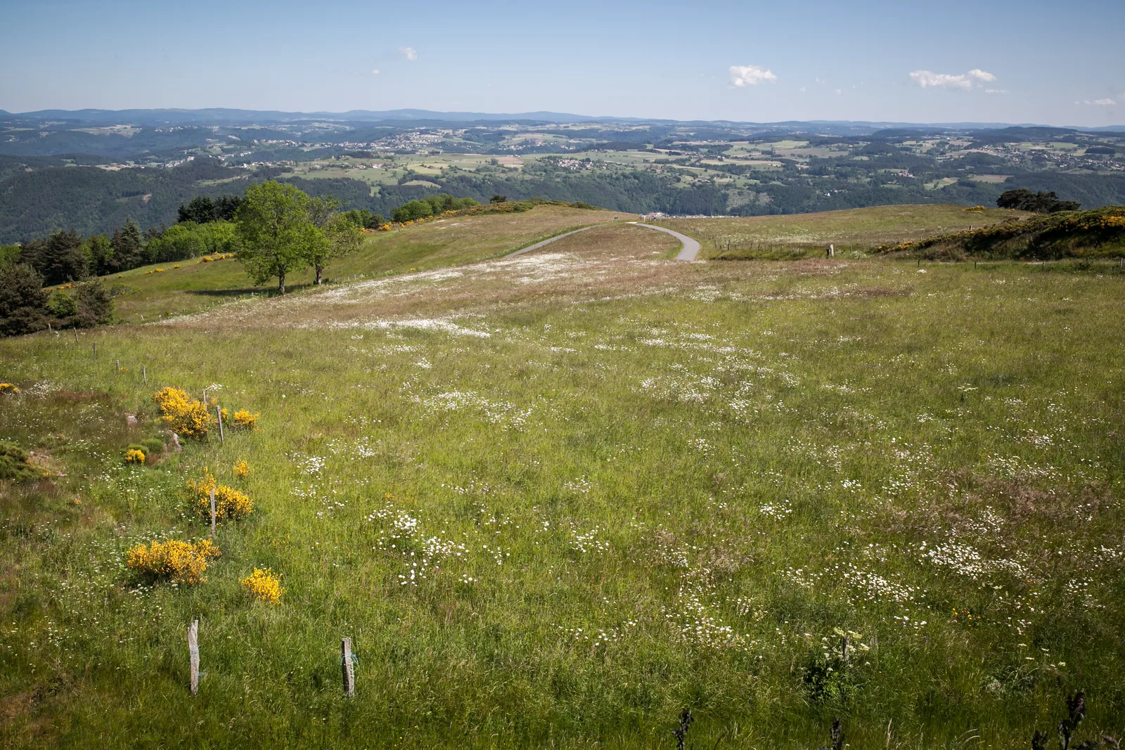
From Aurec-sur-Loire, access to the village of Mons has to be earned. At the end of a steep climb from the banks of the Loire that you will have previously skirted, you will enjoy a panorama of the majestic Loire gorges.
Route details
Alert
Average level
Description
From the Respirando area car park, follow the Nurols road which runs along the
Loire. At the entrance to the hamlet, take a path on the left.
Climb on this path which soon leads to a perpendicular path.
Go right for a few meters, then turn left to continue the ascent.
After several switchbacks, reach a flat area. Ignore the path on the left
(indicated Chazournes) to continue straight. Arrive in a first
fork, go right and immediately come to a new fork.
Continue to the left to reach Beauvoir; cross it. Ignore a premiere
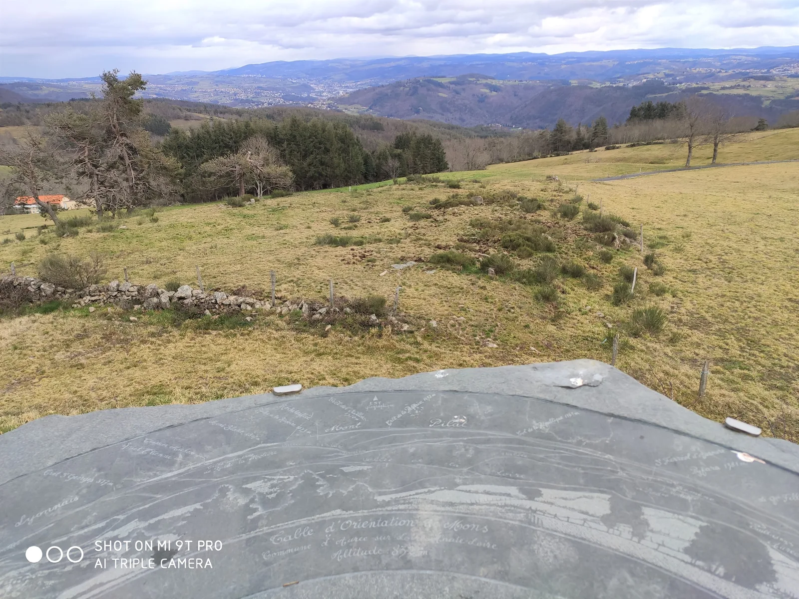
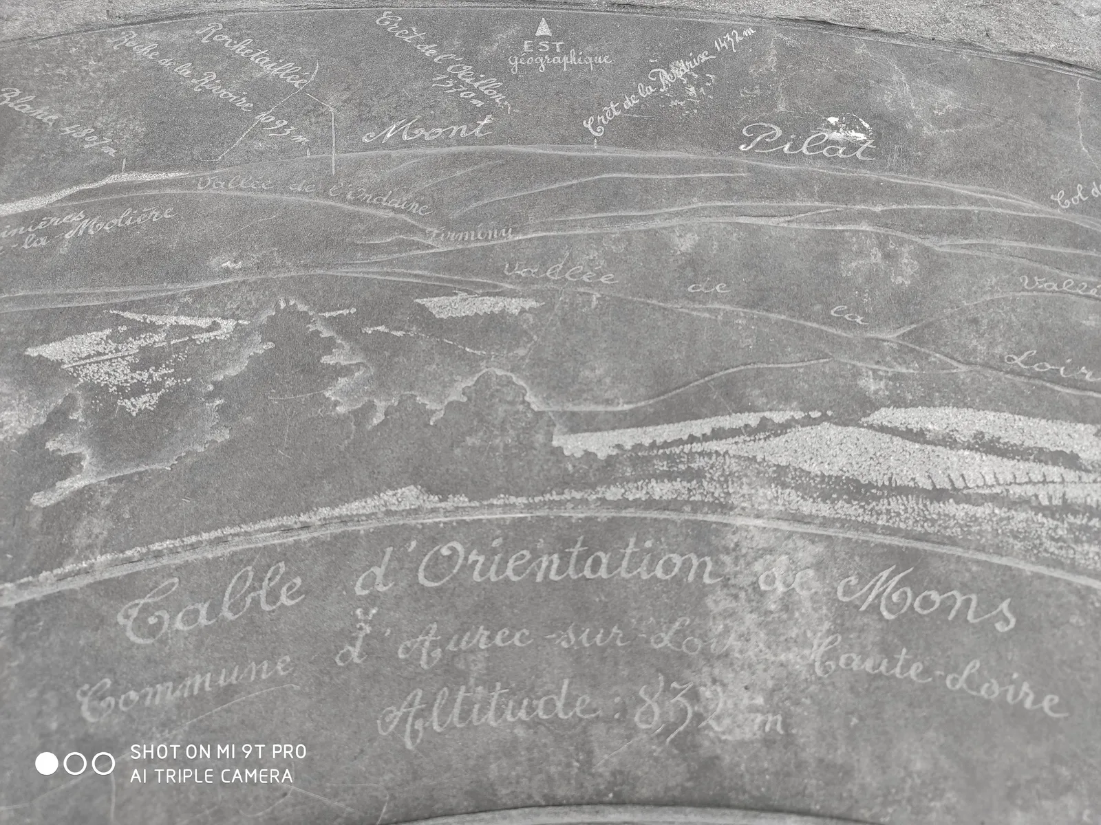
road to the left and reach a crossroads. Turn left towards Mons. At the first houses, go right. Under the old chapel, turn right again, then turn left twice (orientation table on the left). At the last house, take the road on the right which quickly becomes a dirt road. Arrive at a fork.
Continue downhill to the left. Stay on the main path. After a
ru, the path climbs then joins another path.
Turn right to enter Émilieux. In the center of the hamlet, go obliquely
left and find a path leaving the village. Near a pool, the path
splits. Continue left. Come to a fork.
Turn left. At the Sainte-Reine chapel, continue along the chemin de
LEFT. After 750 m, the path splits.
To turn left. The path enters the forest and arrives at a crossroads. Descend to the left. When the path splits, continue to the right.
Further down, discover a path that plunges to the left.
Descend by this narrow path which joins a wider path. To engage in
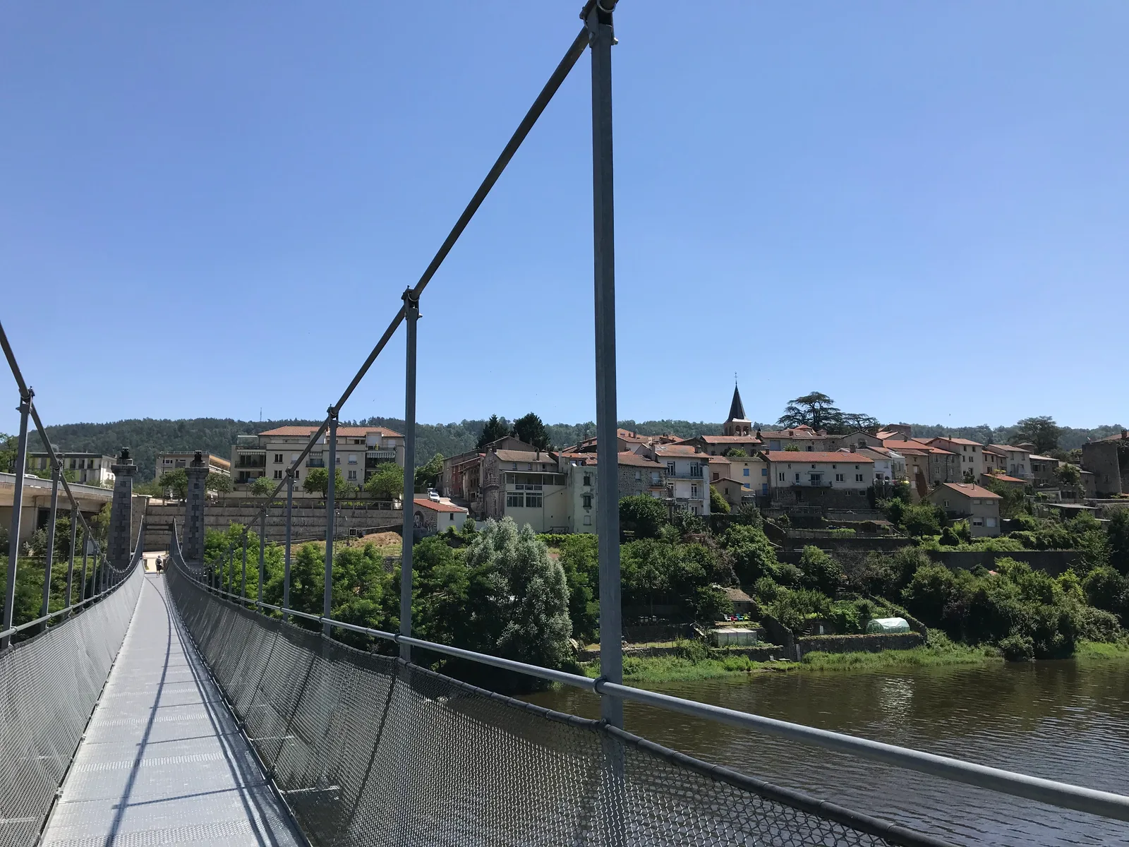
the latter on the right, at the bottom of the valley, cross the stream on the footbridge, then
continue to the right. The path leads to a road at the entrance to Aurec-sur-Loire. Follow the road to the right until the crossroads. Take the Chemin du Pavé.
Then cross the D 46 to find a small street; go through it, then turn
left to find the starting point.
Loire. At the entrance to the hamlet, take a path on the left.
Climb on this path which soon leads to a perpendicular path.
Go right for a few meters, then turn left to continue the ascent.
After several switchbacks, reach a flat area. Ignore the path on the left
(indicated Chazournes) to continue straight. Arrive in a first
fork, go right and immediately come to a new fork.
Continue to the left to reach Beauvoir; cross it. Ignore a premiere
road to the left and reach a crossroads. Turn left towards Mons. At the first houses, go right. Under the old chapel, turn right again, then turn left twice (orientation table on the left). At the last house, take the road on the right which quickly becomes a dirt road. Arrive at a fork.
Continue downhill to the left. Stay on the main path. After a
ru, the path climbs then joins another path.
Turn right to enter Émilieux. In the center of the hamlet, go obliquely
left and find a path leaving the village. Near a pool, the path
splits. Continue left. Come to a fork.
Turn left. At the Sainte-Reine chapel, continue along the chemin de
LEFT. After 750 m, the path splits.
To turn left. The path enters the forest and arrives at a crossroads. Descend to the left. When the path splits, continue to the right.
Further down, discover a path that plunges to the left.
Descend by this narrow path which joins a wider path. To engage in
the latter on the right, at the bottom of the valley, cross the stream on the footbridge, then
continue to the right. The path leads to a road at the entrance to Aurec-sur-Loire. Follow the road to the right until the crossroads. Take the Chemin du Pavé.
Then cross the D 46 to find a small street; go through it, then turn
left to find the starting point.