

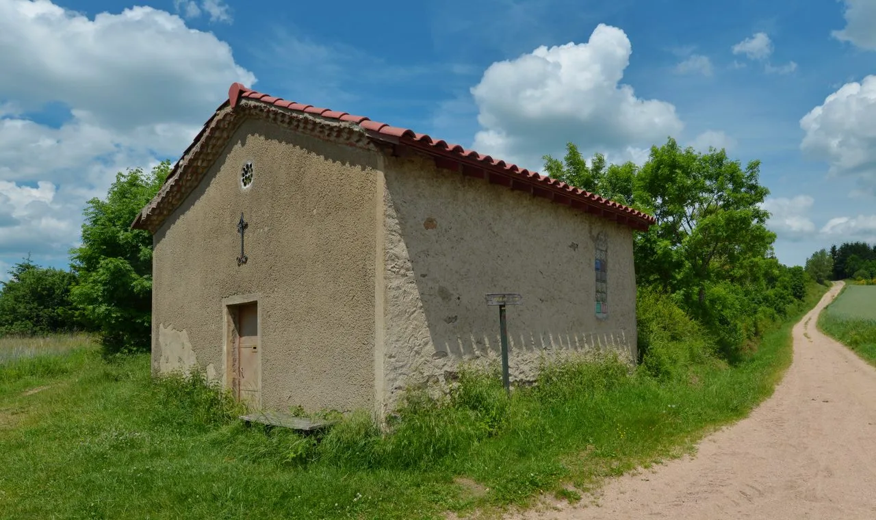
This circuit meanders along the Pompet stream and crosses the Angelard bridge. On the hillside, through the undergrowth which, in summer, offers a bit of freshness, you reach the Sainte-Reine chapel.
Portrait
The association of the Haute-Loire Hiking Committee has been asserting for 20 years its position in favor of the practice and development of hiking in Haute-Loire. Our business is divided into two major axes of development:
• The tourist and cultural development of the Haute-Loire through hiking
• The associative and sports development of hiking in Haute-Loire
Sustainable tourism
We promote hiking in Haute-Loire in compliance with the hiker's charter which aims to preserve nature and protected areas.
https://www.rando-hauteloire.fr/
https://www.chemin-rando-hauteloire.fr/?categories=T6&categories=T5
https://www.ffrandonnee.fr/Media/Default/Documents/randonner/charte-du-randonneur-ffrandonnee.pdf
Route details
Description
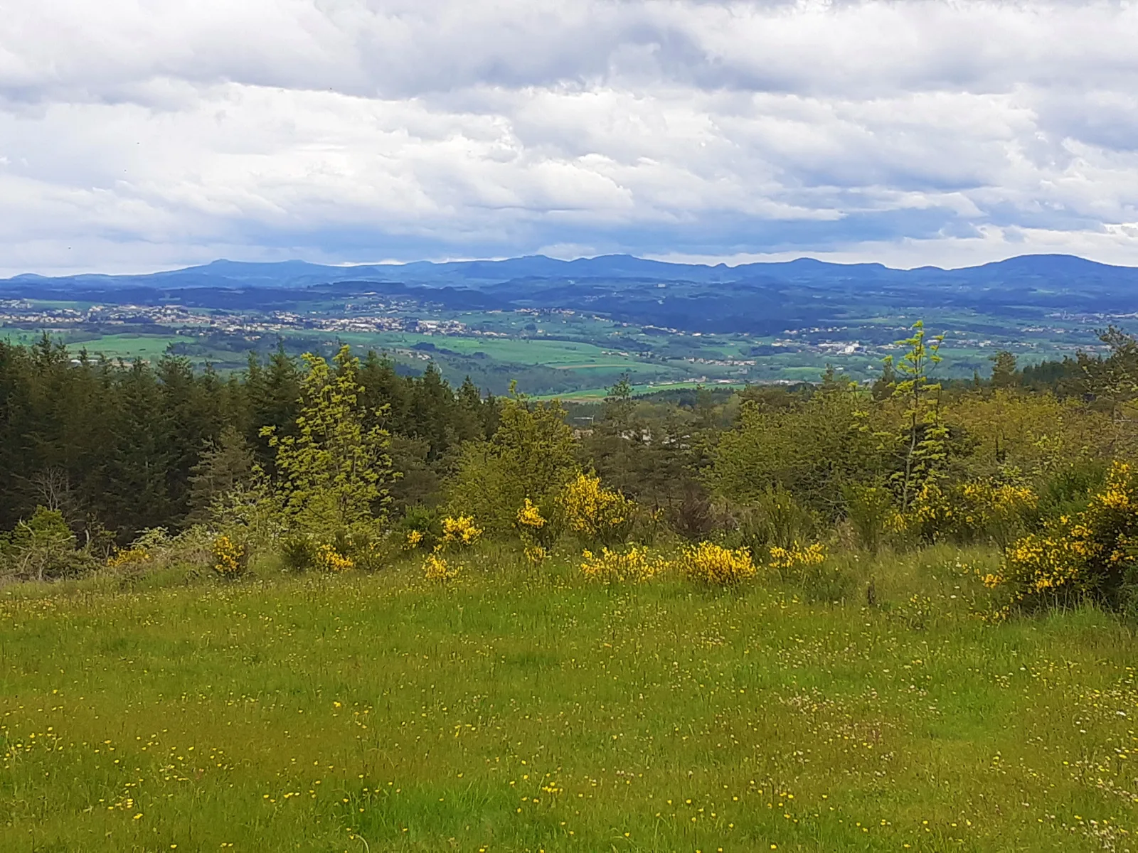
On the way back, a panoramic view is offered to the hiker as a reward.
1. With your back to the church, go up the main street. At the level of the cemetery, leave the road for the path on the right. At the fork, turn left. THE
path descends into the valley and comes to a bridge over the stream of
Pompet.
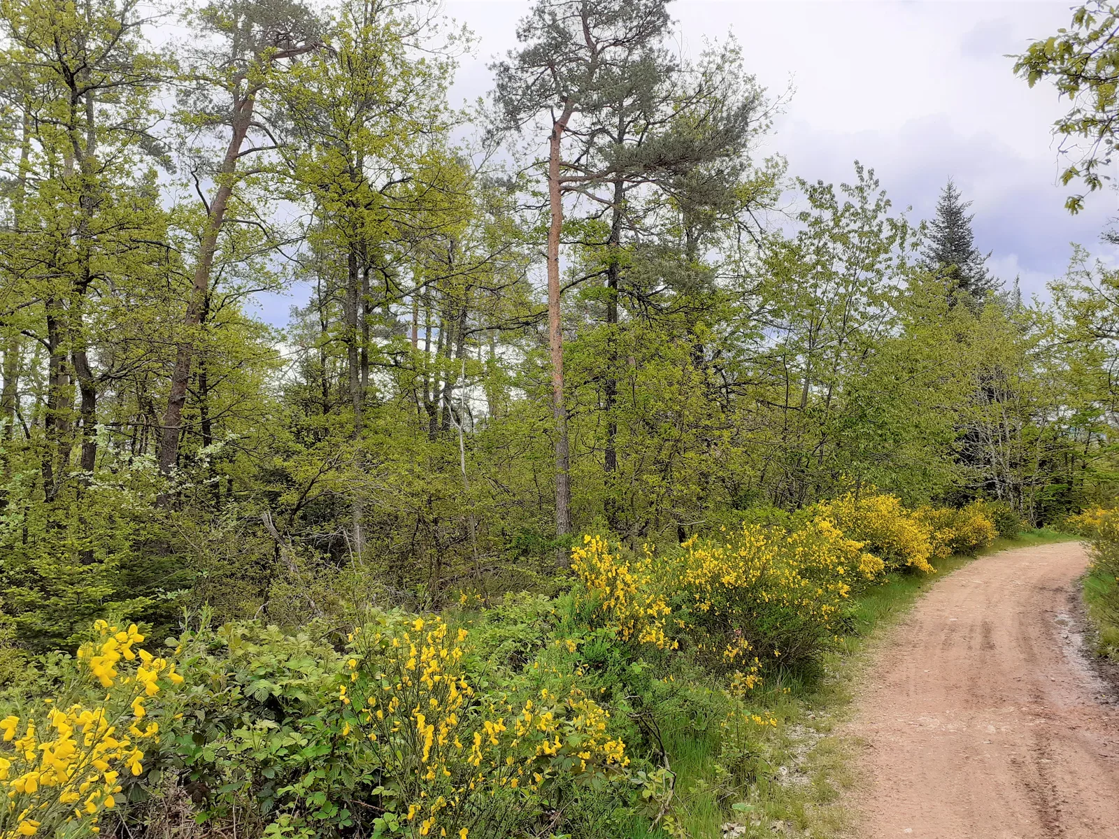
2. Cross the bridges over the Palemberge then Pompet streams and continue on the wide path which gradually climbs. At the top, reach a junction near the Sainte-Reine chapel, isolated in the countryside.
3. Take the path on the right between woods and fields for 800 m.
4. At the fork, go down the wide path on the right. Ignore, on both sides,
secondary paths. At the end, follow the road to the right for 250 m.
5. Leave the road for the second dirt road on the right. After the houses, narrower, it descends into the woods. At the bottom, follow the road to the right, cross the bridge over the Pompet stream and continue on the road for 100 m.
6. Climb the path on the right. Cross the D 463, go up opposite and find the center of Malvalette.
Departure: Malvalette
With your back to the church, go up the main street.
UTM coordinates: 31 T 0590738 5023013
1. With your back to the church, go up the main street. At the level of the cemetery, leave the road for the path on the right. At the fork, turn left. THE
path descends into the valley and comes to a bridge over the stream of
Pompet.
2. Cross the bridges over the Palemberge then Pompet streams and continue on the wide path which gradually climbs. At the top, reach a junction near the Sainte-Reine chapel, isolated in the countryside.
3. Take the path on the right between woods and fields for 800 m.
4. At the fork, go down the wide path on the right. Ignore, on both sides,
secondary paths. At the end, follow the road to the right for 250 m.
5. Leave the road for the second dirt road on the right. After the houses, narrower, it descends into the woods. At the bottom, follow the road to the right, cross the bridge over the Pompet stream and continue on the road for 100 m.
6. Climb the path on the right. Cross the D 463, go up opposite and find the center of Malvalette.
Departure: Malvalette
With your back to the church, go up the main street.
UTM coordinates: 31 T 0590738 5023013