

PR 442 – Saint-Roch
Crossing different hamlets, discover a rich heritage: bread oven, house of Béate, cross and chapel (Saint-Roch). You will also have an unobstructed view of the surrounding plateaus and mountains.
Route details
Description
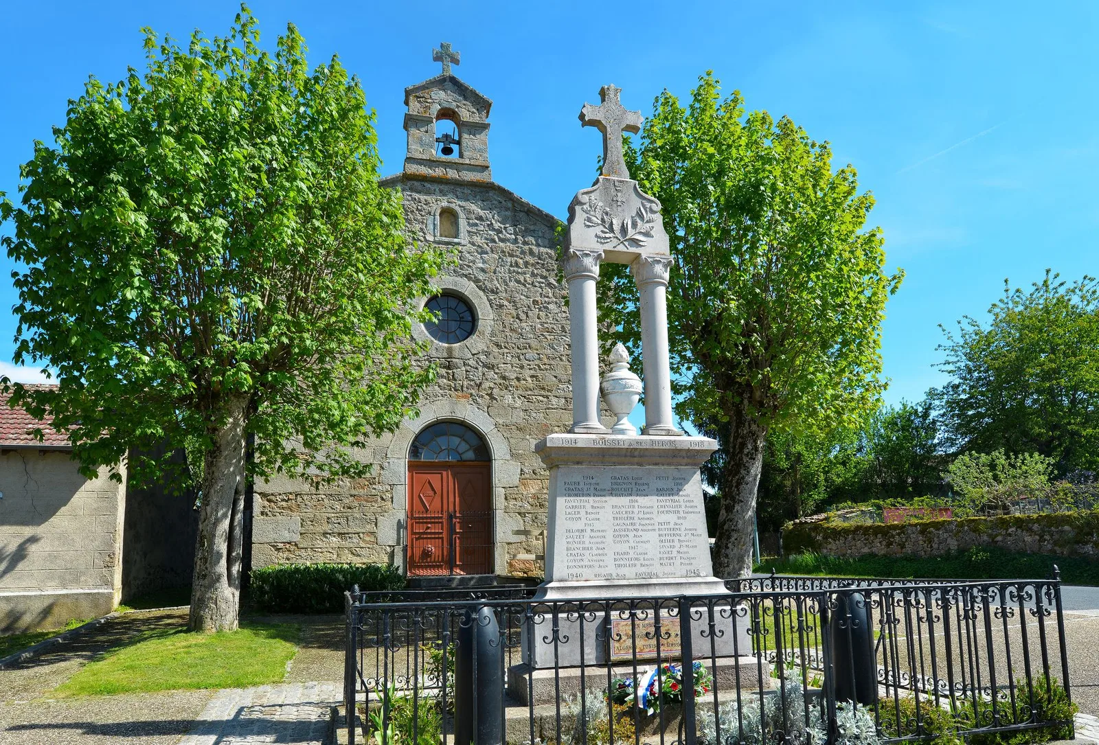
1. Pass between the church and the town hall. Continue on the road to the right (north)
towards La Rochette. In the hamlet, fork on the road to the left. AT
Combreaux, head left then right, still on the road. turn to
right on the way.
2. At the fork, keep right. At the intersection, turn right. Take the D 24 to the right for 50 m then turn left towards Montchany. After the cross, turn right. At the second cross, continue straight ahead and keep to the main path.
3. At the crossroads, take the wide path to the right. Ignore the path that descends to the left. Ignore the path on the right.
4. Leave the main road and turn right. Stay to the right. Ignore the
path turning left. At the next fork, go down to the left. Cross the stream then climb to the right.
5. Climb the wider path on the right. Ignore the path on the left and go up.
Walk on the edge.
6. At the entrance to La Faye, ignore a path on the left. Keep left and little
then turn left. At two successive forks, keep to the right.
7. At the entrance to the wood, go right. Ignore the path to the left. At the fork,
turn right and go up in the woods. In a switchback, ignore the trail at
LAW. In Cerces, go right on the road and cross the hamlet. To his
exit, at the farm, turn right.
8. Take the road to the left and, at the entrance to the hamlet, the path to the left.
Cross the wood, take the road to the left for 50 m, then the path to the right. Follow the road to the left then, at the Saint-Roch chapel, take the D 24 to the left and find the church of Boisset.
UTM coordinates: 31 T 0577013 5019370