

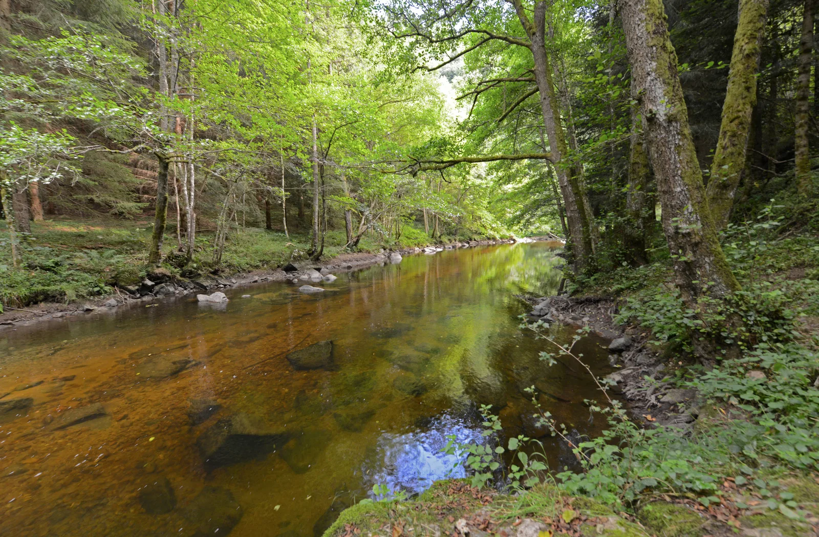
After dominating the valley, you will reach La Dunière, a fish-filled river. Then you will pass near the ruins of the Château de Latour, which has since disappeared, the cradle of the town of Sainte-Sigolène.
Portrait
The association of the Haute-Loire Hiking Committee has been asserting for 20 years its position in favor of the practice and development of hiking in Haute-Loire. Our business is divided into two major axes of development:
• The tourist and cultural development of the Haute-Loire through hiking
• The associative and sports development of hiking in Haute-Loire
Sustainable tourism
We promote hiking in Haute-Loire in compliance with the hiker's charter which aims to preserve nature and protected areas.
https://www.rando-hauteloire.fr/
https://www.chemin-rando-hauteloire.fr/?categories=T6&categories=T5
https://www.ffrandonnee.fr/Media/Default/Documents/randonner/charte-du-randonneur-ffrandonnee.pdf
Route details
Description
1. From the hamlet, head towards the last house in the village. Take from
left the wide dirt road for 800 m.
2. Leave the main path, turn right and continue to the road. There
turn left and reach the D 43. Take it left for 150 m
(caution !).
3. Opposite the power plant, leave the road and go left of the cross to enter the Les Chênes housing estate. Continue the path to the village of La Roue (view of the Lapte bell tower and the Yssingelais juices). At the crossroads (maison de béate with pinnacle), go straight until the intersection and turn right. Go down the path.
4. Turn at right angles to the left and go down the stony path to the road. Follow it to the left, pass along the campsite, cross the bridge over La
Dunière and go up the road to a place called Le Pomeyron. At the fork,
turn left for 200 m.
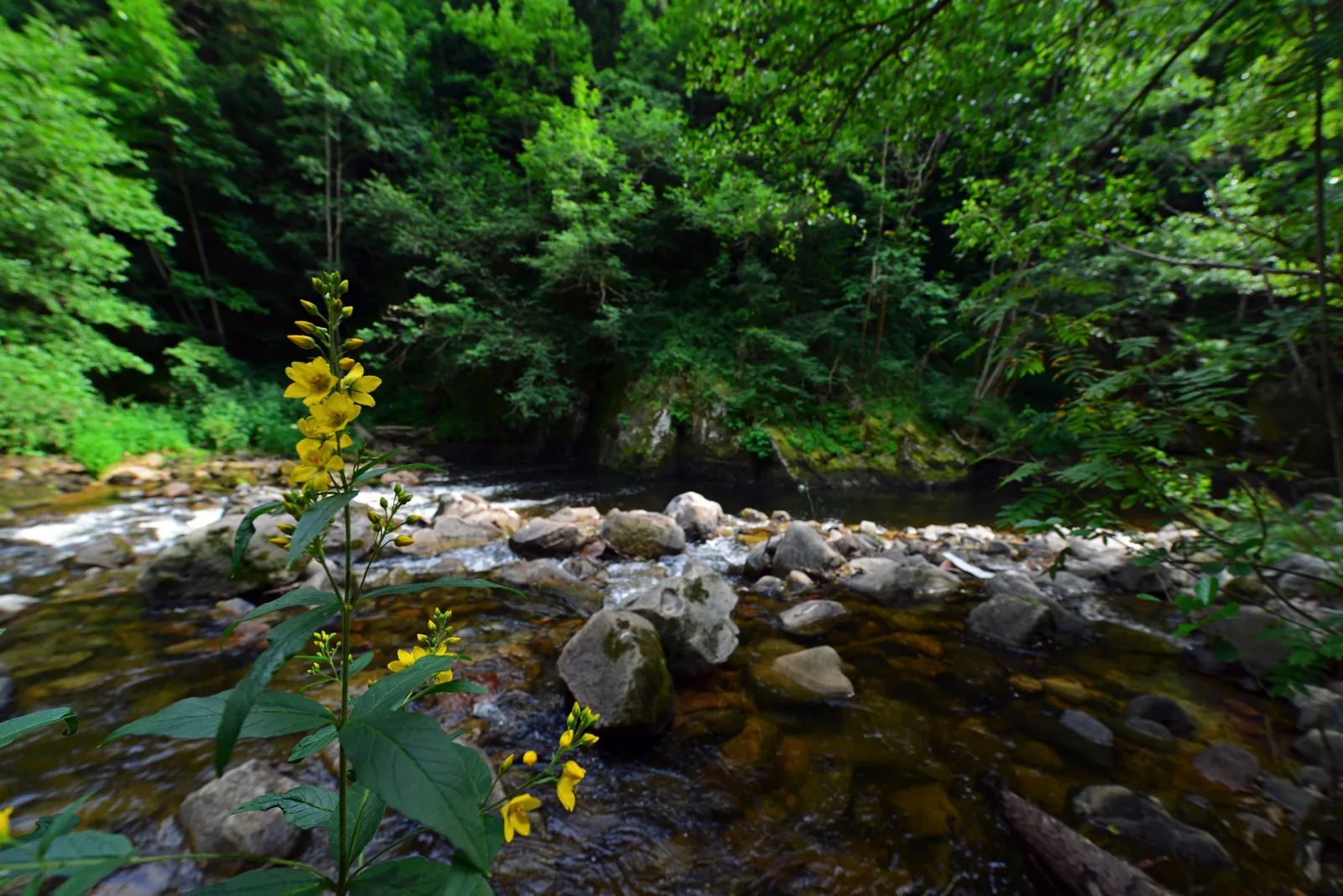
5. Take the path on the left. Pass the stream and climb to the Saint-Léger niche then descend to La Dunière. Cross the double-arch footbridge (Passerelle de Latour) and take the path to the left. At the top of the stairs, continue to the right climbing the winding path to the clearing.
6. Slightly to the right, take the path which climbs for 150 m.
7. Take the path to the right crossing woods and meadows to the station of
pumping.
2. Reach the starting point by the same route as the outward journey.
UTM coordinates: 31T 0597124 5009071
left the wide dirt road for 800 m.
2. Leave the main path, turn right and continue to the road. There
turn left and reach the D 43. Take it left for 150 m
(caution !).
3. Opposite the power plant, leave the road and go left of the cross to enter the Les Chênes housing estate. Continue the path to the village of La Roue (view of the Lapte bell tower and the Yssingelais juices). At the crossroads (maison de béate with pinnacle), go straight until the intersection and turn right. Go down the path.
4. Turn at right angles to the left and go down the stony path to the road. Follow it to the left, pass along the campsite, cross the bridge over La
Dunière and go up the road to a place called Le Pomeyron. At the fork,
turn left for 200 m.
5. Take the path on the left. Pass the stream and climb to the Saint-Léger niche then descend to La Dunière. Cross the double-arch footbridge (Passerelle de Latour) and take the path to the left. At the top of the stairs, continue to the right climbing the winding path to the clearing.
6. Slightly to the right, take the path which climbs for 150 m.
7. Take the path to the right crossing woods and meadows to the station of
pumping.
2. Reach the starting point by the same route as the outward journey.
UTM coordinates: 31T 0597124 5009071