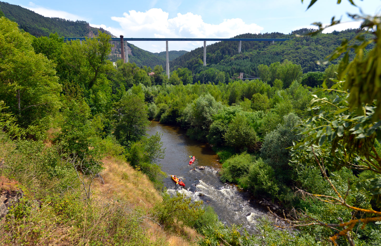
After walking through the pine woods, crossing the small streams and enjoying the calm of the Villard pond in its green setting, the juices of the Yssingelais will give you a taste for the great outdoors.
Route details
Description
To be discovered along the way: oratory of Sainte Sigolène, house of the bliss of Fey, Villard pond, view of the juices of the Yssingelais.
1. From the post office, take avenue Lafayette as far as the square on the right (statue of Saint Sigolène), turn right. Pass the retirement home and continue straight ahead (Croix des Rameaux). At the end of the path, take the dirt road on the left. Go up, cross the road (wooden cross) towards Veyrines (stone cross) then straight on for 400 m.
2. At the crossroads, turn right onto the dirt road to join the Route de Fey. Turn left to the hamlet (maison de béate). Go right then left (stone cross) and cross the village.
3. After the farm, take the dirt road on the right. At the stone cross,
go straight down to the road. Twice turn right. Continue,
cross the creek and go up.
4. At the fork, take the path to the left. It leads to Boucherolles. In the village, keep to the right, cross the stream and take the path below on the left. At the road, go up to the right. At the top, turn left (photovoltaic panels), cross the D 44 (be careful!), go up 40 m and turn left. After the farm, turn left.
5. At the first houses in Reveyrolles, turn left and descend to the
clearing. Turn right, cross the stream and go up to Vachères (statue of the Virgin in a niche).
6. Follow the road to the right. Take the dirt road. Cross the stream and go up to the hamlet of Les Gouttes. Continue straight up Mont. Turn a little to the left, then to the right in the village. To come down. At the bottom turn left and reach the Villard pond (iron cross). Go up to the right in the wood, then straight on to the D 44.
7. Cross (be careful!), go left, then right into Ponchardière. Go down (view of the Yssingelais juices) to the roundabout and reach the starting point.
UTM coordinates: 31 T 0596903 5010529


