

PR 522 – Sur les rives du Chansou
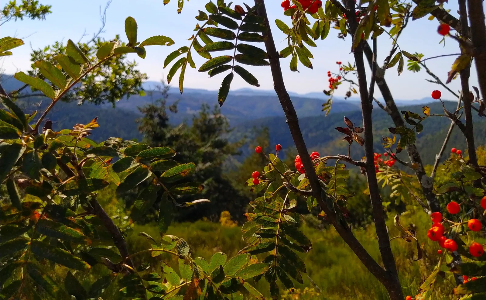
Discover nature in its purest state on the banks of the Chansou and the activity of the factories by crossing the industrial zone, the enterprising soul of the city.
Route details
Description
At the villard, you will learn about regional history by walking along the walls of the castle (xiv) which has been remodeled several times.
1. Opposite the town hall, take Chemin de la Bâtie, to the left of the pastry shop.
2. At the intersection, turn right, then left. After 30 m, take the path on the right, then the road to Cenoux on the left. Continue on the dirt road. AT
At the edge of the wood, turn left (view of Saint-Pal-de-Mons). After several
bends, the path leads to Pinet. Go through the village (cross, well, sarcophagus). At the cross on the left, pass between the houses and, at the level of the last one, go down to the left.
3. After the ruins of Le Crouzet, turn right and descend towards La Dunière.
Cross the footbridge over Le Chansou and climb the steep path to the right to
join the PR® 292 (view of the Saint-Julien-la-Tourette chapel).
4. Turn left, walk along the ruin and continue the ascent.
5. At the fork, turn left to the ruins of La Rinelle. Keep right and go up. On the flat, go down to the left. Go along a house then cross the
Song. Go up to the middle of the village of La Bâtie.
6. In front of the house of bliss, turn right. Cross the village.
Pass behind the last house and go up to the left to Les Bruyérettes. Follow the road to the right as far as La Bruyère (stone cross). Leave the village.
7. At the crossroads, turn left, cross the industrial zone, cross the D 44
(caution !). Take the Route des Taillas opposite and pass the village. To the
last house, continue on the dirt road.
8. At the crossroads, go straight. Cut the D 43 (caution!). After 200 m, turn left and enter La Perrière (maison de béate). Turn right and
descend towards the Villard pond. At the iron cross, take the path that goes up
in the wood, then straight ahead. Cross the D 44 (be careful!), turn left, then right into La Ponchardière. Go down (view of the Yssingelais juices) to the roundabout and return to the starting point.
UTM coordinates: 31 T 0596971 5010562