

PR 659 – Autour de la Bloue
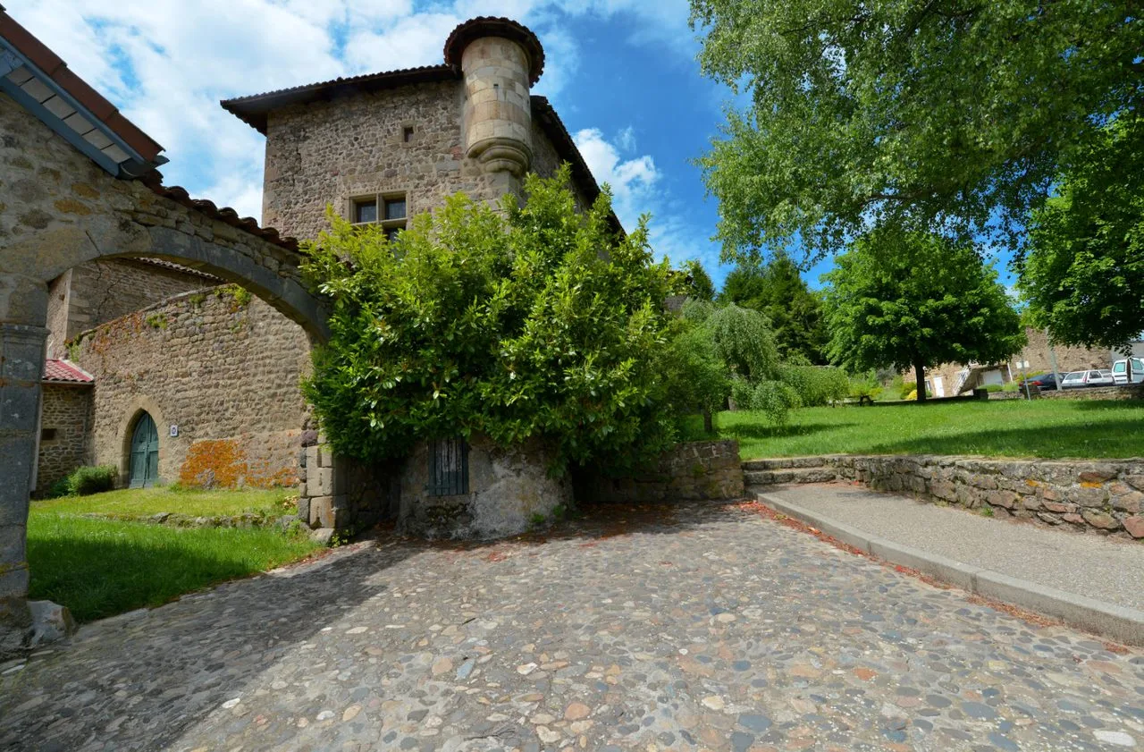
Come and discover the small heritage around the Bloue stream: scattered along the path, drinking troughs, crosses, bread oven, shoeing work, blissful house will allow you to go back in time.
Route details
Description
Admire the different landscapes, from Pilat in the east to the edge of the marginride in the west, and end the hike with a visit to Valprivas.
1 – From the community hall, take the main street on the right (D 125) for 300 m, then the path on the right. He goes down into the valley. Cross the Bloue then its tributary and climb opposite. Follow the D 125 on the right and, after the farm, turn left.
2 – Take the dirt road on the left. Cross the D 12 to enter Chanteloube. In the center of the hamlet turn left and follow the track. At the fork turn right. The path enters the forest. At the crossroads turn left. The path arrives in a clearing from which several paths branch off.
3 – Follow the path which goes down to the left. Join a path coming from the left and arrive at a junction.
4 – Go down to the right. The path plunges into the valley. After 450 m, notice a lightly marked path on the left.
5 – Take this path which winds up between the trees then widens. At the fork continue right. The path turns left at the entrance to Valtaillet. Cross the hamlet and, in the center, continue left.
6 – At the last houses, go up the damp path on the right. cut the road and continue along the path shifted from right to left. He climbs in the undergrowth. Take the road on the left, the D 12 on the left for 50 m and the lane on the right. Continue along the path which winds between the fields and ends at the Besset cross.
7 – Cut the D 125 and continue opposite towards Besset. At the troughs, take the path on the left then, at the D 125, take rue des Grenilloux on the right. In the village, turn left then, after Place des Nys, left again on Rue des Ecoliers. Then go left to reach the church.
8 – Continue straight on rue de la Bourgeat until you find the start.
UTM coordinates: 31 T 0582073 5018100