

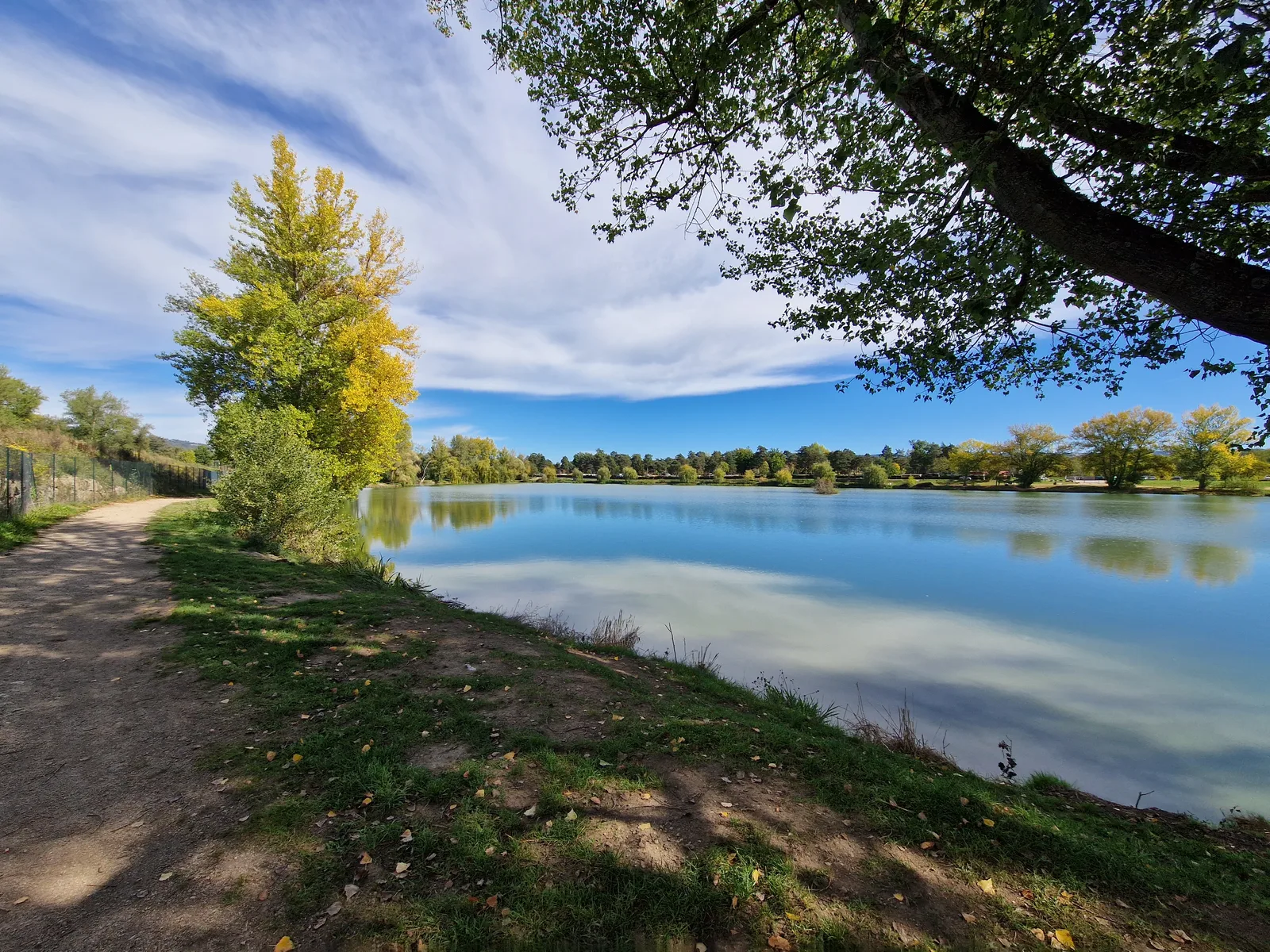
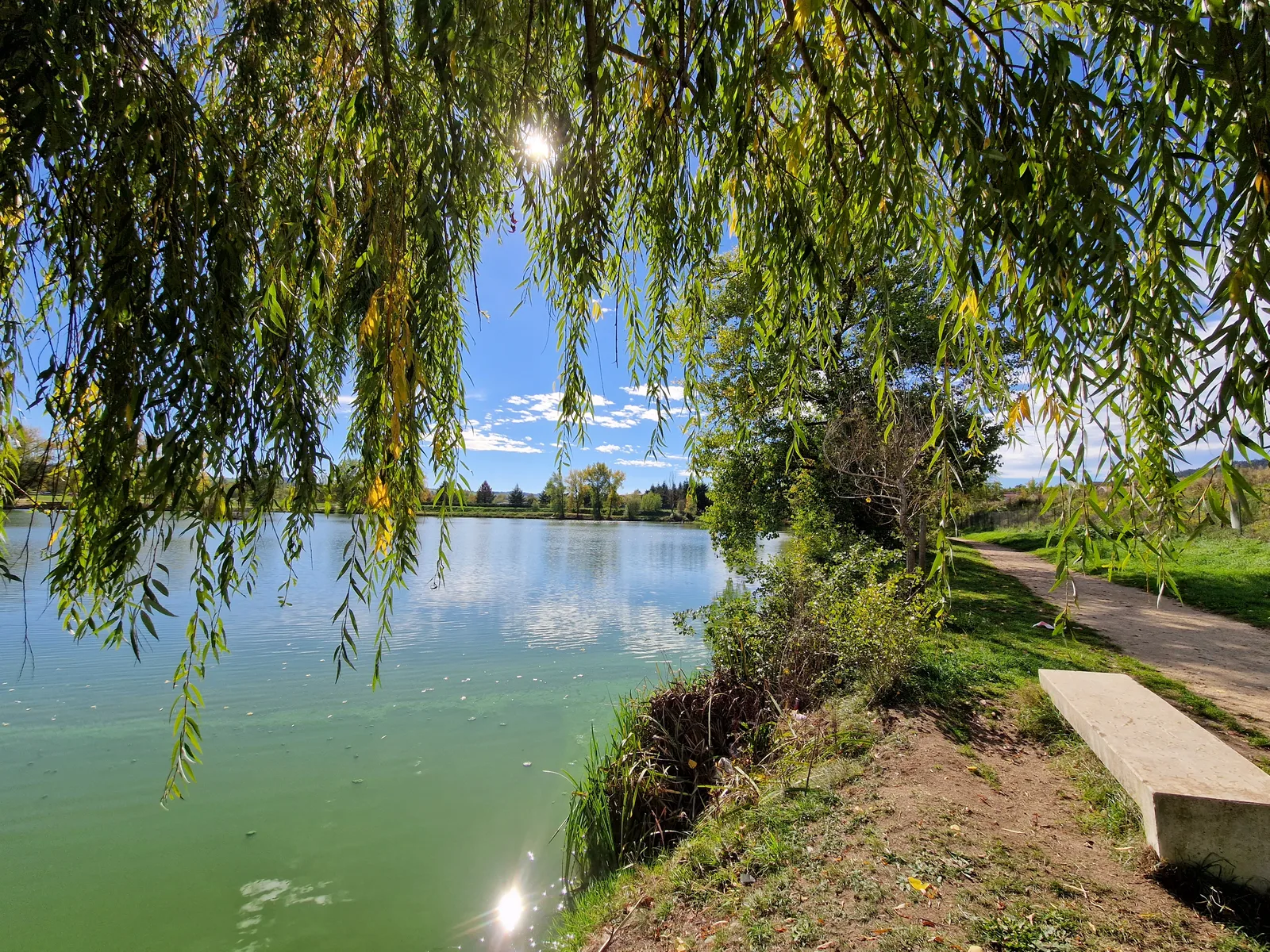
This family walk takes you to discover the ponds of Bas-en-Basset and their ecological and ornithological riches.
Portrait
The association of the Haute-Loire Hiking Committee has been asserting for 20 years its position in favor of the practice and development of hiking in Haute-Loire. Our business is divided into two major axes of development:
• The tourist and cultural development of the Haute-Loire through hiking
• The associative and sports development of hiking in Haute-Loir
We promote hiking in Haute-Loire in compliance with the hiker's charter which aims to preserve nature and protected areas.
https://www.rando-hauteloire.fr/
https://www.chemin-rando-hauteloire.fr/?categories=T6&categories=T5
https://www.ffrandonnee.fr/Media/Default/Documents/randonner/charte-du-randonneur-ffrandonnee.pdf
Route details
Description
Observe nesting or migratory bird species that make their home each year on this part of the river.
1- From the car park, take the road towards the campsite.
2- After the sports field, go left along the pond to bypass it.
3-Continue left along the road bordering the campsite.
4- At the crossroads, continue to the right. After a hill, turn left and
continue along the main path which winds between ponds and woods. Last
pond, head left.
5- Continue to the left along the edge of the pond. The path swerves to the right and
approaches the houses of Fouilloux.
6- Before the road, turn left on the path between field and wall. He is
then lined with trees then along houses. Follow the street to the right.
7- Take the road on the left, then stay on the road on the left, before following
left again the path bordering the farm. He sneaks between the ponds. At the quarry, take the road to the right, then the D 46 to the left for 230 m.
8- Go left towards the houses, then follow the path to the right. Continue on the D 46 on the left to the starting point.
UTM coordinates: 31 T 0587445 5017478