

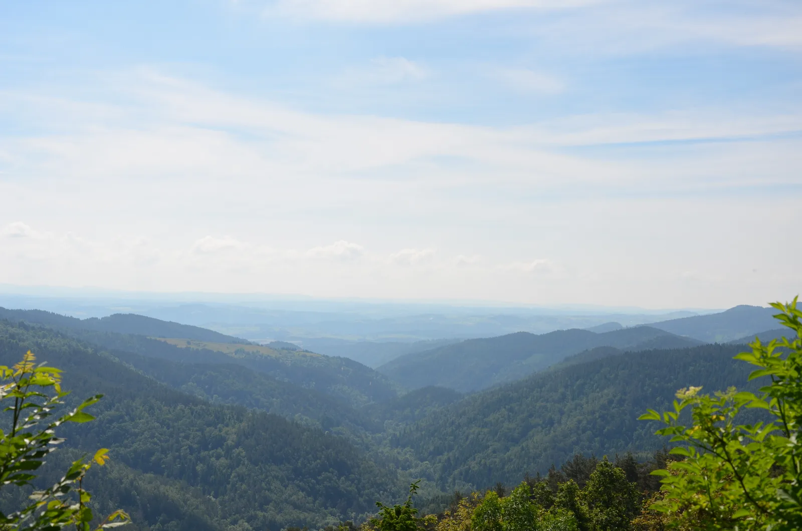
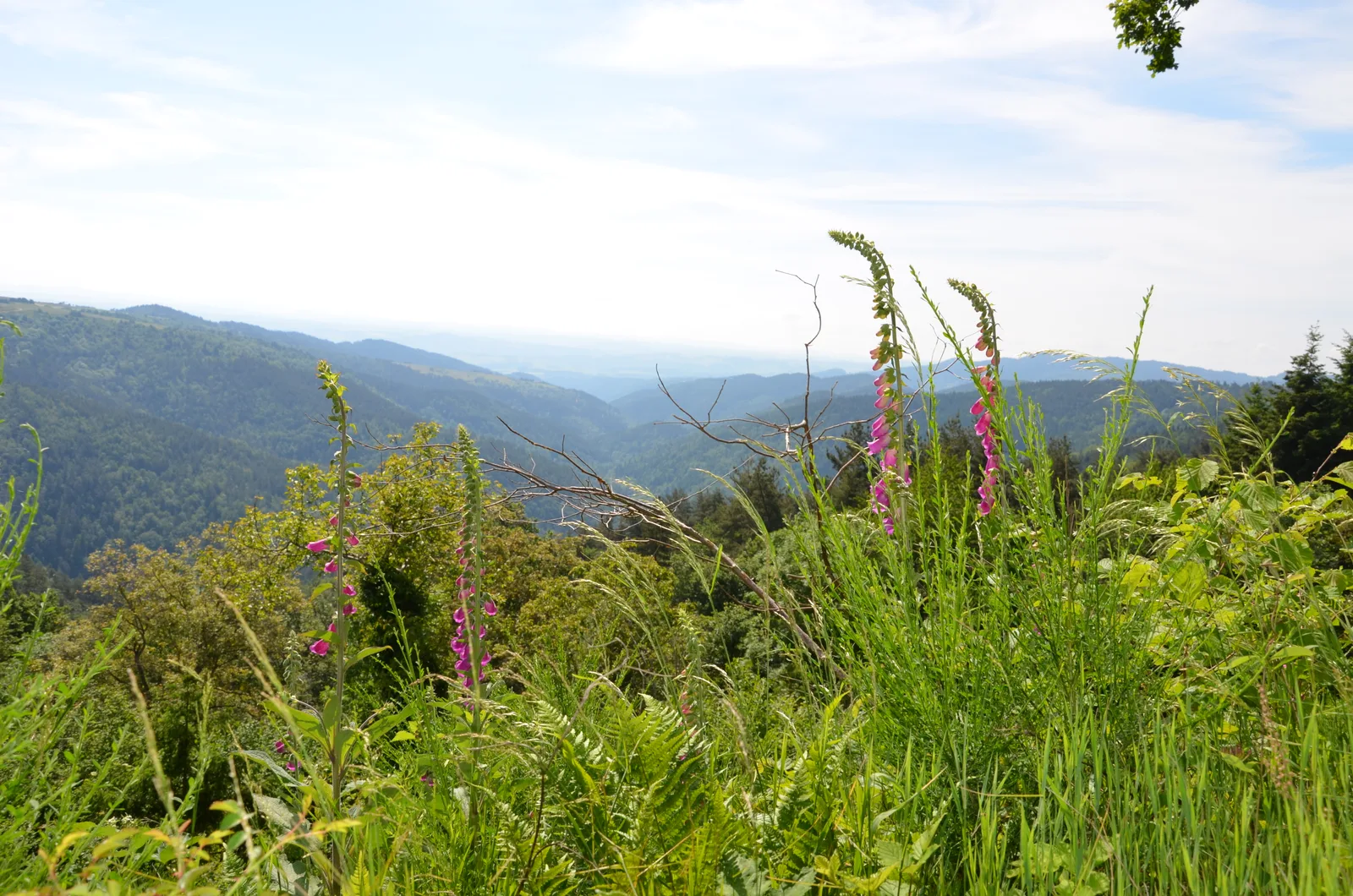

During this walk between pastures and forests, you can admire, from the orientation table, the remarkable view of the Madeleine plateau, the Yssingelais juices and, weather permitting, Mount Mezenc.
Route details
Description
1- From the town's central crossroads, take rue des Fontaines, rue des Verdiers on the right, then rue de la Chabanne on the right. At the fork, continue left. Follow the D 24 to the left (be careful!) and leave Tiranges. Use the left road forsaken.
2- At the fork, take the road to the right for 20 m, then, immediately, the path to the left. At the fork, head left.
3- Turn right. Reach a road, follow it to the left for 40 m, then
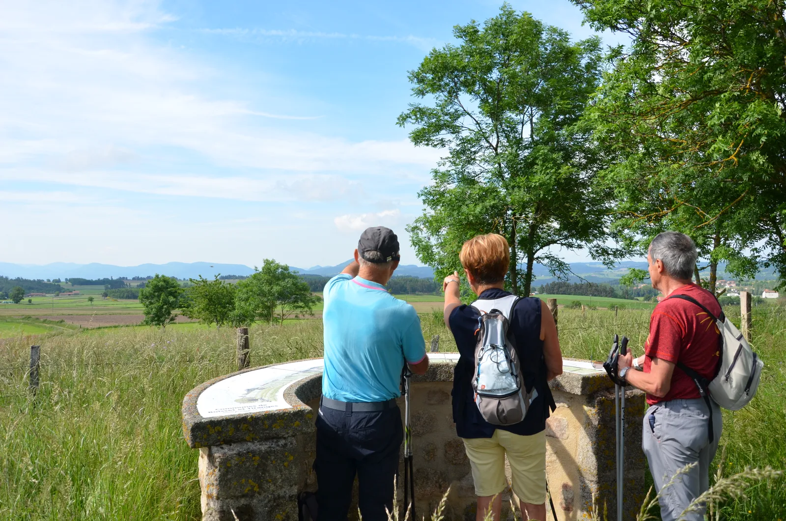
take the path to the right. After the wood, continue straight. Take the road to the right for 100 m and, at the cross, the path to the right (orientation table). Pass to the left of the agricultural building.
4- Take the road on the left. At the fork, keep right to cross Cerces.
At the bottom of the hamlet, turn right towards Roi-des-Cerces.
5- In the descent, after the left turn, take the dirt road on the right. He enters the wood. At the fork, go down to the left. Ignore the path on the right then, lower down, turn right. Go up the path on the right and out of the woods.
6- Turn left, pass La Champ, take the road to the left for 150 m, then the road to the left towards La Sucheyre. Take the path to the right very quickly. After 180 m, keep to the right at the edge of the wood. Continue straight on the main path for 1,2 km.
7- At the crossroads, turn right and cross Les Arnauds. Take the D 44 to the right for 50 m, the road to the left towards Boissières for 30 m, then the grassy path to the right. At the crossroads, continue straight.
8- Follow the road to the right, the D 44 to the left for 200 m and the path in the
extension. He goes to the Saint-Régis chapel. Continue by road to Tiranges.
UTM coordinates: 31 T 0577425 5017188
2- At the fork, take the road to the right for 20 m, then, immediately, the path to the left. At the fork, head left.
3- Turn right. Reach a road, follow it to the left for 40 m, then
take the path to the right. After the wood, continue straight. Take the road to the right for 100 m and, at the cross, the path to the right (orientation table). Pass to the left of the agricultural building.
4- Take the road on the left. At the fork, keep right to cross Cerces.
At the bottom of the hamlet, turn right towards Roi-des-Cerces.
5- In the descent, after the left turn, take the dirt road on the right. He enters the wood. At the fork, go down to the left. Ignore the path on the right then, lower down, turn right. Go up the path on the right and out of the woods.
6- Turn left, pass La Champ, take the road to the left for 150 m, then the road to the left towards La Sucheyre. Take the path to the right very quickly. After 180 m, keep to the right at the edge of the wood. Continue straight on the main path for 1,2 km.
7- At the crossroads, turn right and cross Les Arnauds. Take the D 44 to the right for 50 m, the road to the left towards Boissières for 30 m, then the grassy path to the right. At the crossroads, continue straight.
8- Follow the road to the right, the D 44 to the left for 200 m and the path in the
extension. He goes to the Saint-Régis chapel. Continue by road to Tiranges.
UTM coordinates: 31 T 0577425 5017188