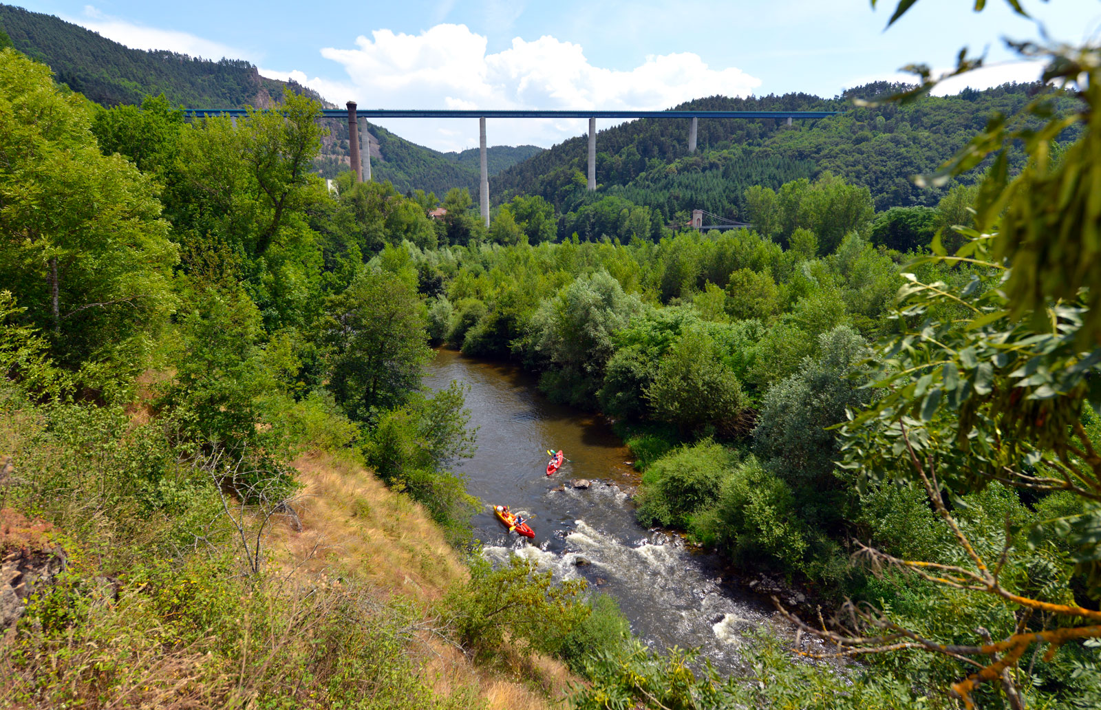
We promote hiking in Haute-Loire in compliance with the hiker's charter which aims to preserve nature and protected areas.
https://www.rando-hauteloire.fr/
https://www.chemin-rando-hauteloire.fr/?categories=T6&categories=T5
https://www.ffrandonnee.fr/Media/Default/Documents/randonner/charte-du-randonneur-ffrandonnee.pdf
The association of the Haute-Loire Hiking Committee has been asserting for 20 years its position in favor of the practice and development of hiking in Haute-Loire. Our business is divided into two major axes of development:
• The tourist and cultural development of the Haute-Loire through hiking
• The associative and sports development of hiking in Haute-Loir
Route details
Description
1. Take the D 125 towards Bas-en-Basset for 350 m. Take the path to the right. Cross the ru, then continue on the D 125 to the right.
2. At the farm, take the second lane on the right. Stay on the main path which winds and crosses the valley. At the top, take the road to the left. Turn left onto the road. In Chomont, keep left.
3. On leaving the hamlet, go up the road to the right. It becomes path. Keep right and descend into the valley. At the bottom, walk along the Bloue to the left
changing shore three times. At the fork, take the track to the left to stay
in the valley.
4. Before the bridge on the left, climb the track on the right for 70 m (GR® de pays).
5. Continue the ascent straight on the track. At the cross, climb the middle path. In Coutanson, take the road to the right and go down to the left by the
path along the building. Cross the road and continue. In Crémerolles, follow the road to the left. At the last houses, take the path to the right. Descend into the valley. At Le Vert, take the D 44 to the right.
6. After the bridge over the Andrable, go straight up the track. At the fork, keep right on the main path. Ignore the descending path on the right.
7. In the clearing, on the flat, take the track to the right.
8. In view of Chales, follow the track to the right (GR® 3). At the edge, leave the wide track to go straight into the forest. Further down, descend to the left by the track. AT
Gaillard, bypass the houses on the left. At the bottom of the valley, cross the
footbridge, turn right and climb the track.
9. Take the road to the left for 450 m. Enter Montbertrand. At the corner of a house, turn right. Take the road to the left and, at the crossroads, the road to the right for 100 m. Take the path on the left and continue on the road on the right. At the fork, go right. At the laundry, turn right and return to the car park.
UTM coordinates: 31 T 0582072 5018104


