

Crossing several hamlets, you will dive back into the past.
Route details
Description
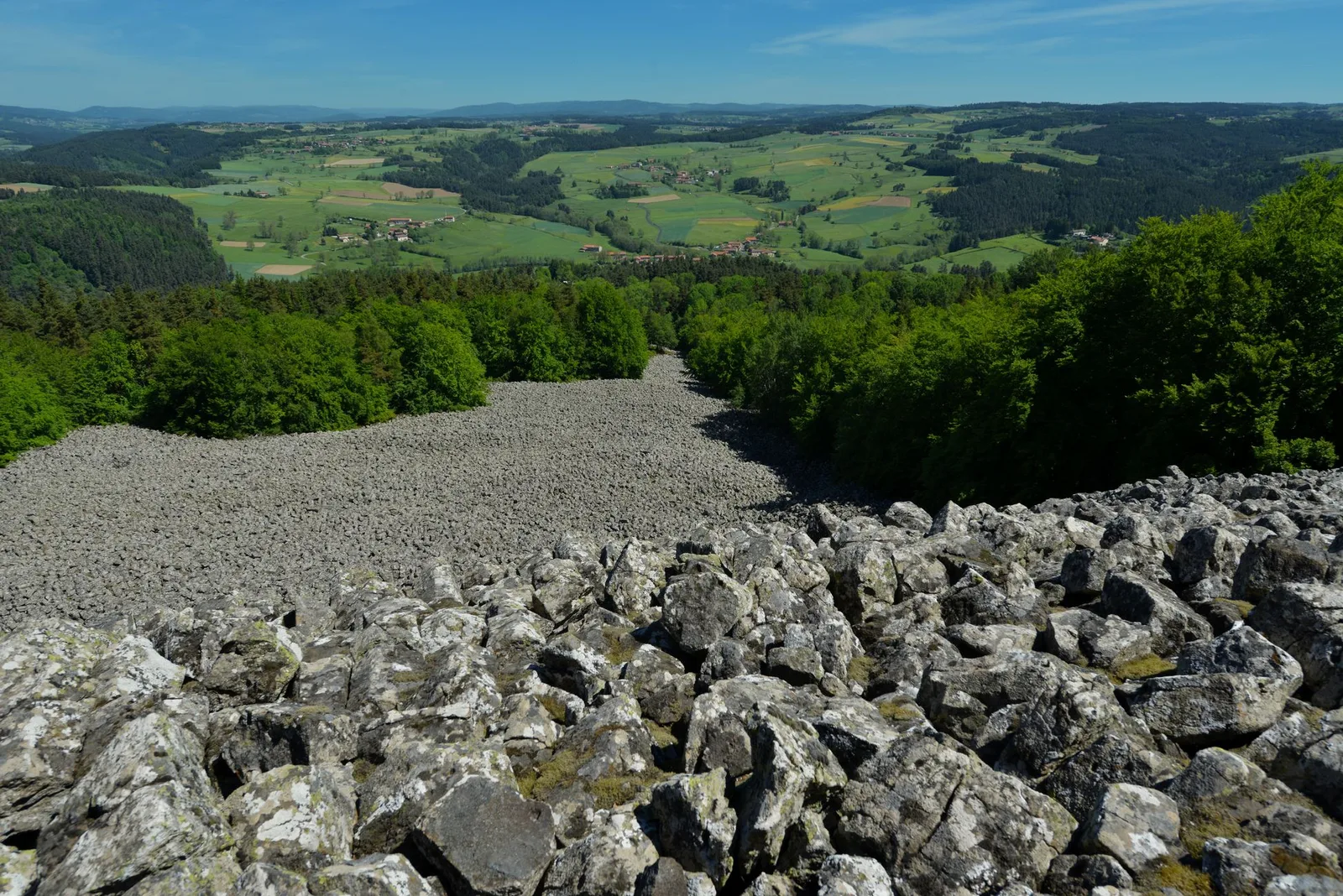
The "shoeing loom" in Montpré which was used to shoe oxen and horses, the stele in memory of the Marquis de Lafayette in La Garde, the scree of basalt columns in Bouriane, witness to the strong volcanic activity on the territory.
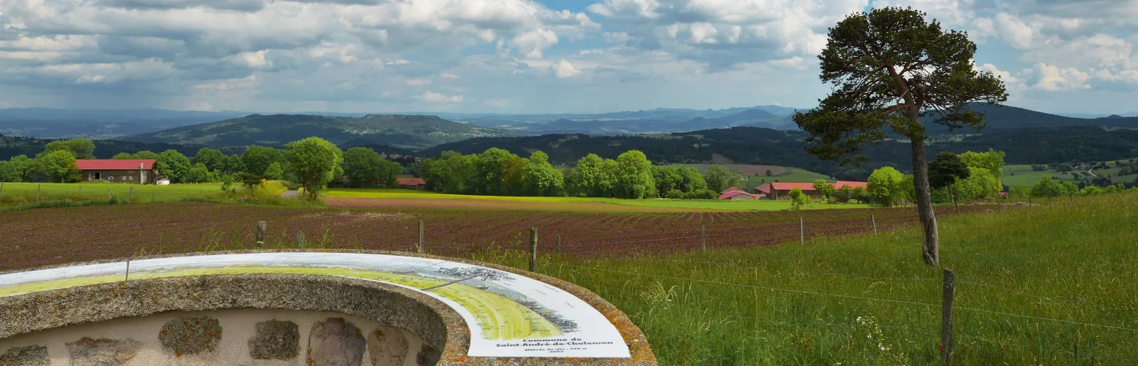
In Montpré, you will have a breathtaking 180° view!
1. Turn your back on city hall. At the fork, go left towards the school then, at the
cross, right towards Chazelles. After the pond, take the path to the right.
2. Take the road to the left for 80 m, turn left then continue straight towards the stadium. Continue straight on the grassy path that descends. Cross the footbridge over the Prades stream.
3. Climb up the path to the right, first in the open then under the trees.
Continue to the right along the wide dirt road. Reach La Garde. Continue
by the road on the right which winds through the hamlet.
4. At the crossroads, turn left. Take the road to the right for 150 m, then the
path on the right. In the clearing, stay on the path to the left. Cross the road (be careful!) and continue along the path opposite in the woods. Continue to the right by the wider path and reach Louspis. Cross the hamlet on the left. At the last houses, the street becomes a path.
5. At the fork, go down the path on the right and go up to Longefont. At the top of the hamlet, cross the road to take the dirt road which rises opposite. Just before the road, turn left to stay on the path towards the Bourianne lava flow. Reach a crossroads.
> On the left, 1,5 km away, view of the lava flow.
6. Veer onto the path to the right. Cross Vacherolles and continue on the road for 1 km. Go right towards the orientation table and go down the path. In Montpré, turn right. At the fork, keep left.
7. At the fork, continue left. In Prades, follow the road to the left and, at the chapel, the road to the left for 300 m.
8. Go up the path on the left. Cut two roads. Take the D 29 to the right for 100 m, then the path to the right. Turn left then right. Follow the road to the left and return to the starting point.
UTM coordinates: 31 T 0576090 5013756