

PR 342 – Le Chambon-sur-Loire
This circuit will introduce you to a diverse flora, unforgettable views of the Forez mountains, the land of juices, the Loire river...as well as hamlets steeped in history and rural habitat.
Route details
Description
1. From the Roger Janisset pond car park, take the D 47 to the right until the start of the PR. Turn right, follow the path that spans the river and go up towards Antonianes. At the entrance to the village, take the road to the left. Before the last houses, take the grassy path to the right which rises in the forest.
2. In the hamlet of La Rivoire-Haute, follow the path to the right. By two laces,
reach the edge of the wood. After the clearing, arrive at Champeau by road.
3. At the stop sign, turn left, follow the N 88, leave a path on the left. Towards a
house, take the road to the left, then near the stream, go left again at the entrance to Prailettes.
4. Go left at the foot of the hamlet and follow the path that runs along the valley. After the wood, cross the confluence of the streams, then climb the wide rocky path to the right which continues on a gentle slope and leads to Chazelet. at the entrance, go up to the right, then turn left and straight ahead.
5. Opposite the stable, turn left, follow the wide dirt road towards the forest and cross the D 471 (GR® de Pays des Gorges de la Loire). Further on, go around the cross at the edge of the small road to go down the path to Broulis.
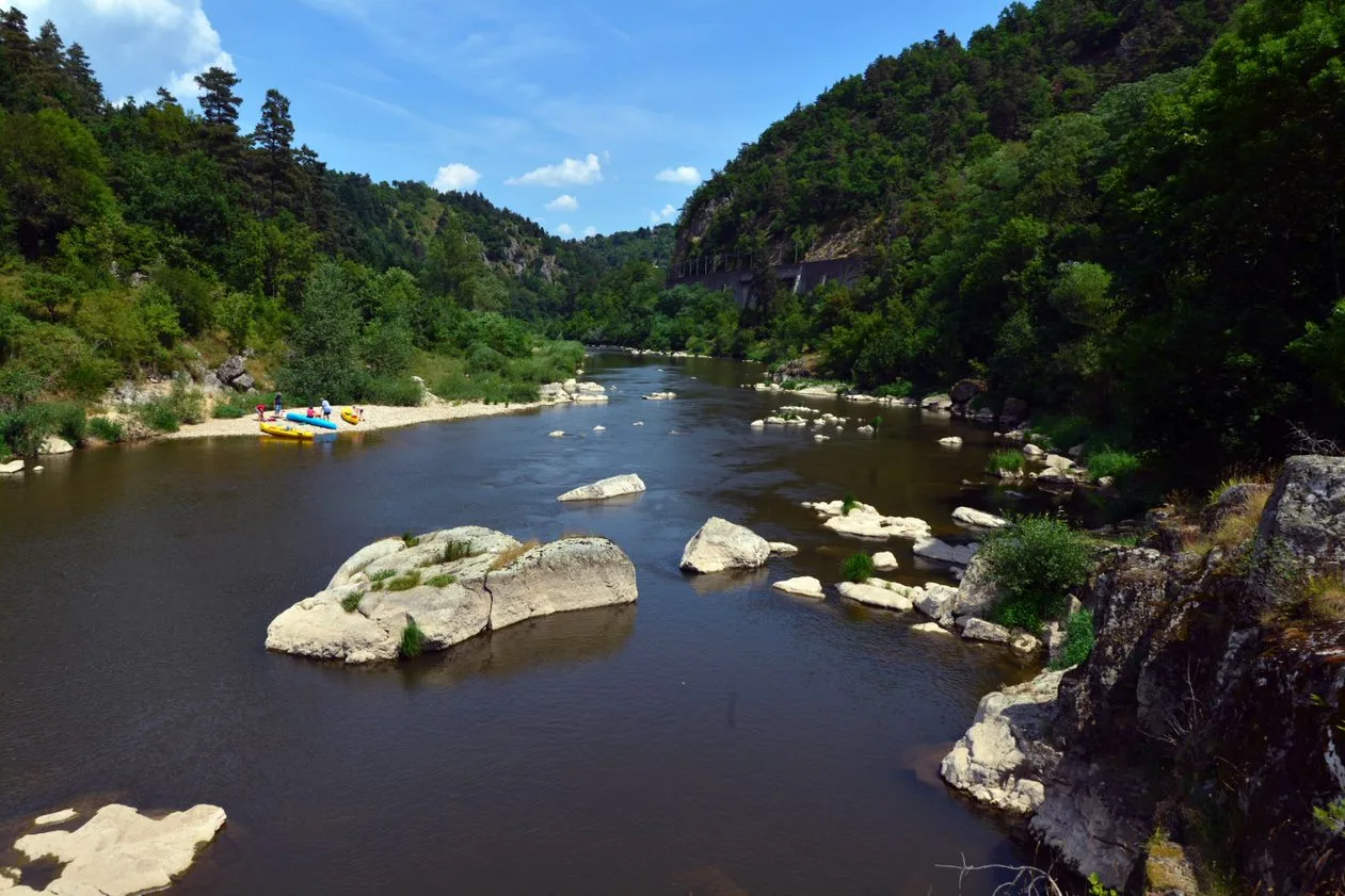
6. In the village, keep right. Cross the D 47 towards a wooded plateau before descending towards the Loire at Chambon.
7. Pass between the tower and the gite, cross the village by turning left then
LAW. 50 m after the last house, turn left and take the stony path to the Bruchet farm. Continue up the road and go right.
8. Cross the hamlet of Le Mas and, at the entrance to Tranchard, turn left.
Return to the starting point by the D 47 on the right.
UTM coordinates: 31 T 0593156 5019044
2. In the hamlet of La Rivoire-Haute, follow the path to the right. By two laces,
reach the edge of the wood. After the clearing, arrive at Champeau by road.
3. At the stop sign, turn left, follow the N 88, leave a path on the left. Towards a
house, take the road to the left, then near the stream, go left again at the entrance to Prailettes.
4. Go left at the foot of the hamlet and follow the path that runs along the valley. After the wood, cross the confluence of the streams, then climb the wide rocky path to the right which continues on a gentle slope and leads to Chazelet. at the entrance, go up to the right, then turn left and straight ahead.
5. Opposite the stable, turn left, follow the wide dirt road towards the forest and cross the D 471 (GR® de Pays des Gorges de la Loire). Further on, go around the cross at the edge of the small road to go down the path to Broulis.
6. In the village, keep right. Cross the D 47 towards a wooded plateau before descending towards the Loire at Chambon.
7. Pass between the tower and the gite, cross the village by turning left then
LAW. 50 m after the last house, turn left and take the stony path to the Bruchet farm. Continue up the road and go right.
8. Cross the hamlet of Le Mas and, at the entrance to Tranchard, turn left.
Return to the starting point by the D 47 on the right.
UTM coordinates: 31 T 0593156 5019044