

PR 380 – Chanteduc
Thanks to this pleasant and easy walk on the plateaus of Beauzac, you will follow, after the Bois des Pinatons, the deep gorges of the Loire.
Route details
Description
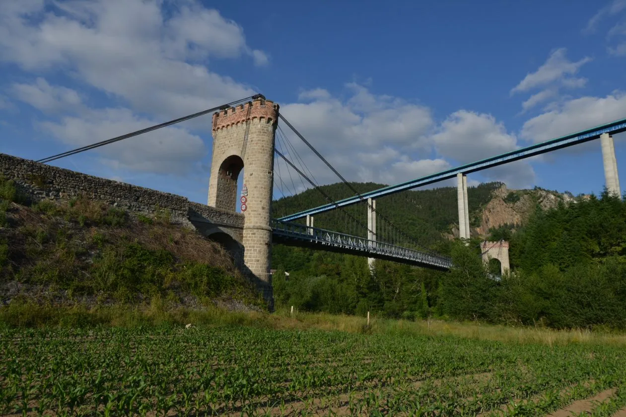
The circuit also overlooks the Confolent suspension bridge and the remarkable Pont-de-Lignon viaduct.
1. From the Place du Pré-Clos car park, cross the D 42. Keep to the right for 300 m.
2. Turn right leaving the PR® 381 on the left. After 200 m, turn
left on the dirt road rising between the fields.
3. At the edge of the wood, cross the road and take the paved path opposite.
In front of the farm, turn left on the path which descends steeply
towards the Loire gorges for 500 m. Go up the path to the left and, on the plateau, take the path to the right for 400 m. Turn left, then
follow the wide dirt road to the right.
4. At the crossroads, take the D 461 to the right for 100 m then, opposite, the wide path which turns sharply to the left in the descent. Cross the D 461. Between the houses of Riou, climb the path on the left and reach the village of Le Plat (view of the Loire gorges, the Moulin campsite, the Jardins du Soleil leisure complex, overlooking the Loire at Confolent, the old school built on the remains of a 88th century priory, the suspension bridge crossing the Loire at the confluence of the Lignon, the 120 m high N 250 viaduct, the old Hachette paper mill and the Lignon quarries where employed before the war up to 200 paver cutters). After XNUMX m, the road on the right leads to Chanteduc.
5. After the farm, turn left on the wide path that leads to La Groslière. Reach the center of the hamlet and take the path on the right which winds its way between the walls of the gardens. She veers left. Cross the road and cross Peyragrosse.
6. Turn left. The path goes to the right and descends to the industrial zone of Pirolles. Behind the area, turn left twice to go up to Chevalier. Go down the road from the sports complex. Cross the D 461 and, after the multi-purpose room, find the outward crossing.
2. Turn right to reach the starting point.
UTM coordinates: 31 T 0586244 5012204